COVID-19 Data Analytics
Using COVID-19 data to fight & contain the pandemic with advanced analytics is critical to protect public health & save lives. Using spatial data through mobile & web applications will allow us to beat Coronavirus faster.

Data Gathering
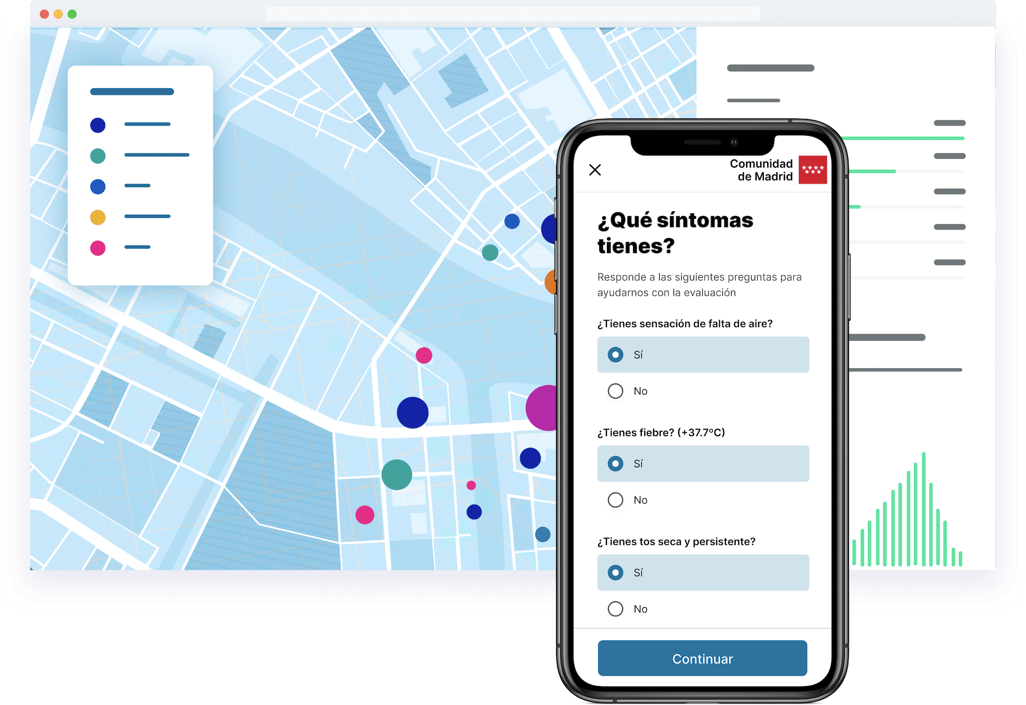
Gathering location data at the speed required to contain the pandemic is proving challenging, but web & mobile apps like Coronamadrid are allowing governments to manage the crisis more effectively with self-diagnosis mechanisms. By tracking symptoms, you can reduce the pressure on emergency hotlines & understand the pandemic from a spatio-temporal perspective with the data gathered.
Read Madrid's story


Overcrowding Analysis
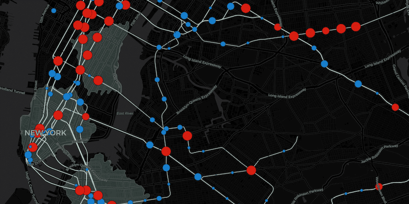
With cities in lockdown, transport systems are experiencing a drop in demand & capacity. Alongside this there is a need for city authorities to provide essential services to health-care workers, first responders & other essential personnel. Spatial analysis can be used to determine areas at risk from overcrowding to ensure efficient movement of these individuals.
Read more


Supply Chain Optimization
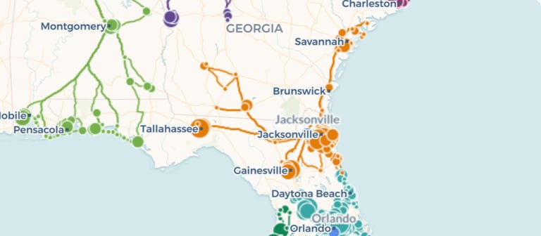
Online retailers & their respective logistics providers are seeing unprecedented demand due to lockdown measures. Using route optimization for last-mile deliveries considering key constraints relating to your distribution centres, fleet, staff & customers is key in order to evolve your supply chain with the new consumer demands, in line with emergency regulation.
Discover supply chain solutionsData Visualization
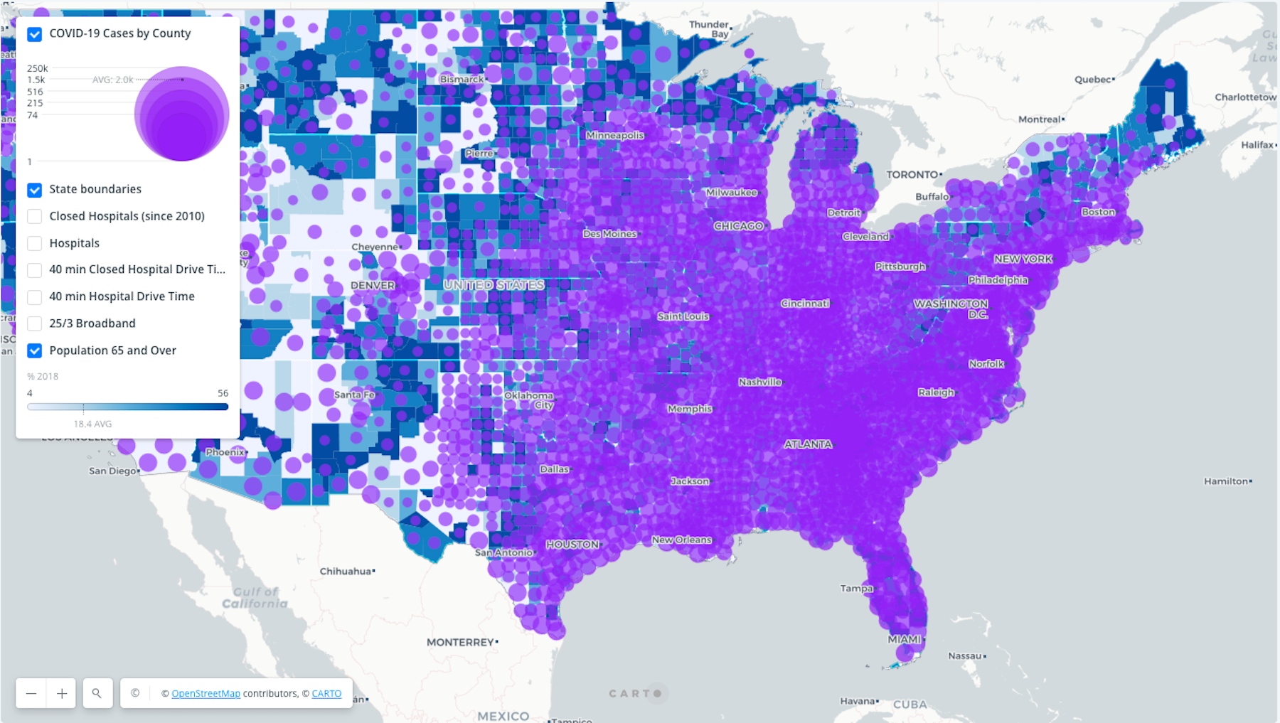
Maps provide an intuitive & efficient way to inform clients & citizens of key data points relating to COVID-19, such as healthcare factors, school closures, social media sentiment, medical facility availability & much more. Using our platform users can rapidly build & publish data by connecting to a wide range of platforms, ensuring high-quality data is in the hands of decision-makers faster.
See connectors


Sentiment Analysis
During the pandemic & confinement, social media behavior has changed considerably. Geosocial data & analysis can provide institutions & organizations with insights to understand & react to how the COVID-19 spread is affecting consumer & citizen behavior leveraging anonymized & aggregated location-based social media data.
Read morePPE Distribution Management
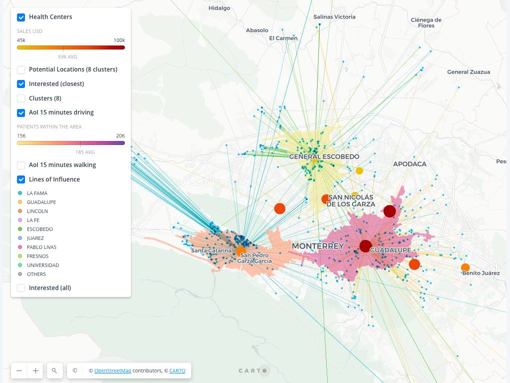
Following WHO recommendations, many are following Asia’s example and recommending the use of PPE for all citizens, due to the asymptomatic transmission of Coronavirus. Managing & planning of distribution of masks & other PPE in your country or region, as well as monitoring stock at distribution points (pharmacies, health centers, hospitals) is fundamental in order to ensure fair distribution & consistent access as we start the recovery process.
Download now


Need Data Science support?
Struggling to find the resource to move fast enough? Our Professional Services team is ready to support your organization through this challenging period. With extensive experience in Spatial Data Science, Web & Mobile App Development & UX - they are already working with several governments & private sector organizations to analyze data relating to the pandemic.
Meet our teamNeed Data Streams?
Finding data under pressure, against the clock can be challenging. We’re doing our best to take the pain away from selecting, collecting, & consuming spatial data with our Data Observatory, providing relevant data to enhance your analysis.
Augment your own data & broaden your analysis with a wide range of curated alternative datasets on standardized spatial aggregations - such as human mobility, weather & POIs.
What our clients say
-
“CARTO has a superior product and customer support, and it's turning out to be the key tool we use in Coronavirus coverage.”
Scott Levin,
Digital Content Specialist, Analyst at MLive Media Group -
“CARTO's platform has been instrumental in our research process. From identifying geographic patterns to building key data visualization tools, it's become essential at every step.”
Samsun Knight,
Economics Ph.D. at Brown University -
“CARTO allowed us to quickly give new shape to our studies & models on the evolution of COVID-19 pandemic with the creation of interactive, clear & professional maps.”
Stefano Vacca,
Data Scientist at Alkemy Lab -
“CARTO tools and libraries have permitted us to boost our research and cartographic visualizations production and quality, at an incredible level, with minimum time frames of development.”
Juan Calvo Ferrándiz,
Data Scientist at CoronaWhy -
“We have been using CARTO for many years to translate geospatial analysis into maps, the user-friendly interface, which simplifies the use of interactivity and styling, is very helpful. The easy way in which CARTO allows external data connection & its synchronized update allows us to provide quality journalistic service about the Amazon region. For example, we use the real-time fire detection data to help fight against the forest fires crisis.”
Jualiana Mori,
Data Scientist at CoronaWhy


Talk to us
Request a Demo
Schedule a 20 minute meeting with our experts to understand how you can use spatial analysis in your organization.


