.png)


Live maps with automated Workflows integrations are here
Create live, always-updated maps with CARTO by integrating Workflows and Builder. Automate geospatial analysis to visualization in one step.
.jpg)


Databricks support for H3 in collaboration with CARTO
Introducing H3 for Databricks with CARTO! Unlock fast and efficient big data analytics in the cloud with Spatial Indexes


CARTO Driving Sustainability Impact Worldwide on Google Cloud
CARTO and Google Cloud have collaborated on sustainability projects for micro-mobility, government infrastructure, and preserving natural resources use cases.


Spatial Data Scientist of the Year Award 2022
At #SDSC22 the first winner of the Spatial Data Scientist of the Year award will be announced. Submit your nomination today!

CARTO’s Ultimate Guide to Spatial Joins & Predicates with SQL
Get started with Spatial SQL with this guide to using spatial relationships.

How to create Google Street View pop-ups with CARTO
CARTO's guide to using Google Street View images in your map pop-ups.

Using Location Intelligence to combat The Great Resignation in Logistics
The Great Resignation means competition for staff is ever increasing. CARTO explores how spatial unemployment patterns can be used to tackle this.

Venue Suitability Analysis for the Eurovision Song Contest with CARTO
How to use Location Intelligence to pick the optimal venue for the UK's Eurovision Song contest with CARTO

Sistema.bio's Story: Optimizing field operations with CARTO
Understand how Sistema.bio is using CARTO to manage and plan their field operations to bring their sustainable biodigester to the world’s smallholders.
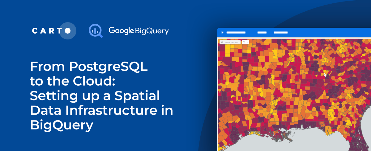

From PostgreSQL to the Cloud: Setting up a Spatial Data Infrastructure in BigQuery
As cloud-based architectures gain momentum, read our step-by-step guide to migrating PostgreSQL spatial data and analytics workflows to Google’s BigQuery.

COVID, mapped: The analytics behind an epidemic
CARTO teams up with ZOE to analyze & predict the spatial patterns of COVID-19to develop a blueprint for understanding the spatial patterns of an epidemic.


Exploratory Data Analysis: UK retail centres
CARTO shares how you can use Exploratory Data Analysis to better understand your data and frame future analysis with CDRC’s latest dataset - UK Retail Centres

Super Charged Site Selection for Electric Vehicles
CARTO partners with CITD to understand how Location Intelligence can be used to drive stronger return on investment for Electric Vehicle charging stations.

Academy
Live maps with automated Workflows integrations are here
Create live, always-updated maps with CARTO by integrating Workflows and Builder. Automate geospatial analysis to visualization in one step.

Introducing User Comments: boost collaboration in your maps
Boost team collaboration with User Comments in CARTO Builder—add, track, and resolve feedback directly on your enterprise maps.

Navigate global risk with MBI CONIAS Political Risk data
Monitor and forecast global political risks with MBI CONIAS data - spatial, predictive, and ready to support smarter decisions in volatile regions.
.png)
