.png)


Live maps with automated Workflows integrations are here
Create live, always-updated maps with CARTO by integrating Workflows and Builder. Automate geospatial analysis to visualization in one step.
.jpg)


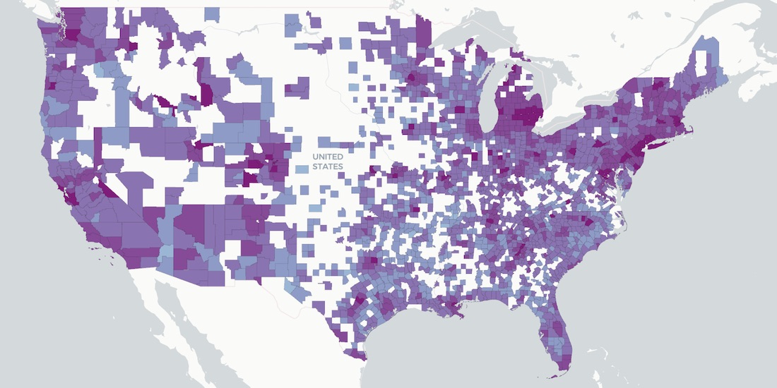
Experian's WorldView Spatial Data available in CARTO's Data Observatory
Experian's WorldView Spatial Data is available through CARTO's Data Observatory to provide socio-demographic & consumer spending insights


What is Fleet Management & Best Spatial Practices
What is Fleet Management & how can Location Intelligence be used to improve efficiency, reduce costs, & provide compliance? We explore.


Spatial Data Scientist of the Year Award
At #SDSC20 the first winner of the Spatial Data Scientist of the Year award will be announced. Submit your nomination today!

#SDSC20 Speakers & Full Agenda Now Available
The Spatial Data Science Conference 2020 brings together leaders from industry, government, & academia for five days of talks on the latest technologies & techniques.

Improving Healthcare Access with BigQuery Tiler
Identifying high impact health facility locations with CARTO's BigQuery Tiler & open-sourced geospatial Big Data.

How Socioeconomic Factors relate to Mobility during COVID-19
A detailed geospatial analysis of how changes & regional disparity in human mobility during the COVID-19 lockdown can be related to socioeconomic indicators.

Announcing CARTO & Thinking Machines partnership
We are excited to announce that Thinking Machines a Data Science consulting firm specializing in geospatial, are now CARTO partners.

Using Location Intelligence to Combat Litter with PMI
In partnership with Philip Morris International, Litterati, & Cortexia, read how Spatial Data is being used to combat litter beginning with Lisbon, Portugal.

Map of the Month: Coffee Supply Chain Traceability
For our Map of the Month read how Enveritas use CARTO to analyze the traceability & sustainability of coffee supply chains around the world.


ATTOM in CARTO: School District Boundary Maps
School District Boundary Data from ATTOM Data Solutions is now available within our Data Observatory for use in your models & spatial analyses

Fintech Spatial Data Science Masterclass with J.P.Morgan
Read a summary of the DeepFin (where Fintech meets Deeptech) Investor Masterclass we recently held with J.P.Morgan, a leading global financial services firm.
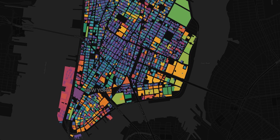
Raster vs Vector Maps: What's the Difference & Which are Best?
A look at the key differences of raster vs vector maps for geospatial data visualization, advantages & disadvantages of each, & which are the best.

Academy
Live maps with automated Workflows integrations are here
Create live, always-updated maps with CARTO by integrating Workflows and Builder. Automate geospatial analysis to visualization in one step.

Introducing User Comments: boost collaboration in your maps
Boost team collaboration with User Comments in CARTO Builder—add, track, and resolve feedback directly on your enterprise maps.

Navigate global risk with MBI CONIAS Political Risk data
Monitor and forecast global political risks with MBI CONIAS data - spatial, predictive, and ready to support smarter decisions in volatile regions.
.png)
