

.png)


Snowflake Summit 2025 - highlights for geospatial
Discover top geospatial highlights from Snowflake Summit 2025 -from AI to open formats -shaping the future of cloud-native spatial analytics.

.png)
How to retrieve spatial data from APIs, the no code way
Learn how to retrieve spatial data from APIs without coding! Discover the benefits of using REST APIs for scalable and automated geospatial analysis.
.png)

Cloud-native Life Sciences analytics with CARTO & Snowflake
Optimize Life Sciences analytics with cloud-native geospatial solutions using CARTO & Snowflake. Scale data insights for improved decision-making.
.png)
What is Supply Chain Network Design and How Does It Work?
Improve your supply chain network design! Use spatial analysis to optimize your supply chain design for cost savings, efficiency, resilience & sustainability.

Boost Telecom Analysis with FCC Data - now available on CARTO!
Access FCC telecom data on CARTO for seamless, cloud-native insights! Analyze broadband & mobile availability, speeds, and more for the entire U.S.


4 Key Points on Raster Analytics from CARTO & Snowflake
Discover how cloud-based raster analytics with CARTO & Snowflake streamlines large dataset management and enhances spatial analysis.
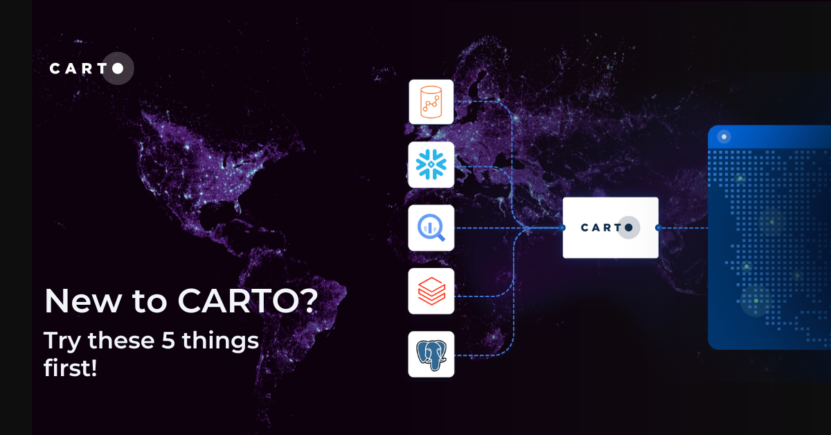
New to CARTO? Try these 5 things first!
New to CARTO? Discover the first 5 things to try, from running a cloud-native spatial analysis to creating your first map.


What being “cloud-native” should really mean for your spatial data
What does it mean to be truly cloud-native? Enhance security, eliminate data silos & redundancy, and revolutionize your geospatial workflows with CARTO.

The State of Spatial Data Science 2024 - get your free copy!
Download your FREE copy of The State of Spatial Data Science 2024; stay ahead with insights on AI, cloud integration, GIS, climate impact & more!

What's New in CARTO - Q2 2024
Explore the latest CARTO platform features unveiled in Q2 2024! Working with external APIs, raster data, the new developer space - and more!

Introducing CARTO Heatmaps for Big Data Visualization
Enhance your big data visualization with CARTO's heatmap style! Learn how to impactful, large-scale heatmaps with this guide.


10 Examples of Spatial Data & Visualizations for Telecom Analytics
Explore 10 maps using CARTO's cloud-native platform and spatial data for telecom analytics to enhance network optimization, coverage, and customer satisfaction.


Enhancing geospatial analytics with CARTO & Databricks
Unlock advanced spatial analysis in Databricks with CARTO’s Analytics Toolbox. Visualize & analyze large geospatial data inside your data warehouse.

Academy
Snowflake Summit 2025 - highlights for geospatial
Discover top geospatial highlights from Snowflake Summit 2025 -from AI to open formats -shaping the future of cloud-native spatial analytics.
From selection to consolidation: 6 ways to optimize site planning
Optimize site planning with data, AI, and real-time insights. Discover 6 of the best strategies in this expert guide from CARTO.

Foundation Models: Transforming the Future of Spatial Analytics
Explore how geospatial foundation models like Google’s PDFM are revolutionizing spatial analytics, from disaster response to urban planning with CARTO.

