World Cup 2026 spatial analysis: drive-time catchments and sponsor activation hotspots across all 16 stadiums, built with the CARTO CLI and CARTO agent skills.
State and local agencies need spatial insight at the speed of today's decisions. But legacy GIS platforms and siloed tools create real barriers. Geospatial AI is changing that.
Out-of-home advertising is getting more data-informed. Learn how spatial analytics helps OOH professionals target audiences, plan campaigns, and prove ROI.
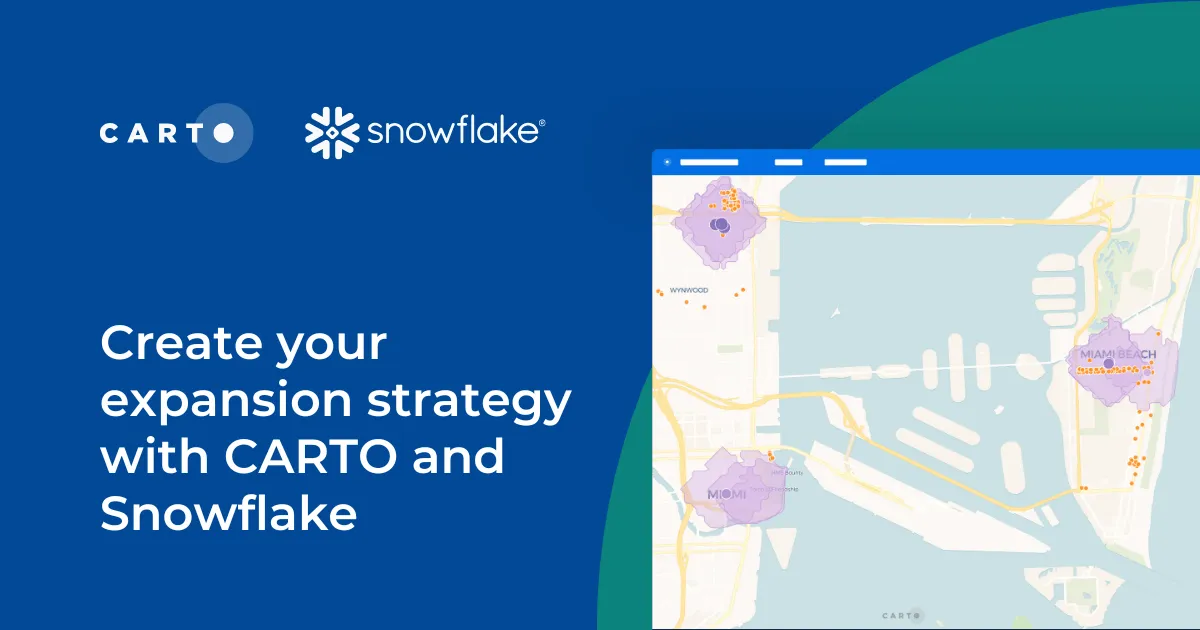
Learn how CARTO and Snowflake help you build a winning expansion strategy. Pinpoint ideal locations, leverage spatial analytics & AI for confident growth.