Use cases


Using Spatial Analysis for 5G Rollout
Spatial analysis plays a key role in the successful deployment of 5G networks. Learn about its importance & explore how Location Intelligence is used.

Spatial Data Monetization Guide: 3 Tips for Success
Wondering if you should offer data as a product? Read this spatial data monetization guide. It includes 3 tips for developing a data monetization strategy.

5 Reasons Why OOH Professionals Are Turning to Location Intelligence
“More people in OOH advertising are incorporating GIS & location intelligence data into their media planning. Discover 5 advantages of making data-driven campaigns.”

Closing the Equity Gap with Spatial Analysis
“See how spatial analysis can be used to determine & visualize where access to resources is equitable & inequitable so we can start closing the U.S. equity gap.”
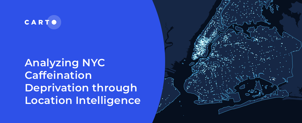

Analyzing NYC Caffeine Deprivation through Location Intelligence
“Curious about the number of coffee shops in NYC? Join us as we investigate the spatial patterns of coffee shops across the city."

International Women’s Day: Mapping Financial Inequality by Gender
“For International Women’s Day 2022, CARTO uses location intelligence to analyze financial inequality between gender in different countries. "

How T-Mobile Uses Spatial Data to Improve Network Planning
“How can spatial data solve challenges for Telecom? Discover how CARTO has helped T-Mobile improve network planning & internal operations. "


Can Kanye West Save Gap? What Maps & Location Data Reveals
Kanye West's partnership with Gap generated a lot of buzz but how has it affected in store sales & visitation? Find out using maps & behavioral spatial data.


Assisted Living Facilities Site Selection for Elderly Care
As the world’s population ages, discover how Assisted Living Facility owners & Private Equity can use CARTO for Site Selection to identify new optimal locations


Distance-based functions for the spatial analysis of point data in BigQuery
We are pleased to introduce 3 new functions for point data analysis in our Analytics Toolbox for Google Cloud BigQuery: K-nearest neighbors, Local Outlier Factor, & G-function


Black Friday Analysis: Why Retailers Should Pay Attention
Discover how retailers can evaluate Black Friday & holiday sales performance using hotspot analysis, Safegraph foot traffic data, and the CARTO platform.

Understanding the Impact of Tree Equity in Chicago
Learn how the University of Chicago built a tree equity solution to understand the impact that tree canopy cover has on social & health outcomes in the city of Chicago.

Academy
.jpg)
Telco dashboards: Turning accessible data into actionable insights
Discover how CARTO enhances data accessibility, empowering decision-makers with actionable insights to improve network access for senior citizens and communities.
The first 5 maps everyone needs to make with CARTO
New to CARTO? Start with these 5 essential maps! Learn how to analyze proximity, work with big data, integrate real-time updates, and leverage AI-driven insights.

Unlock raster analytics & visualizations - now in your lakehouse!
Unlock raster analytics in your lakehouse! Analyze & visualize raster data natively in CARTO for unmatched scalability, efficiency & cost savings.