

CARTO


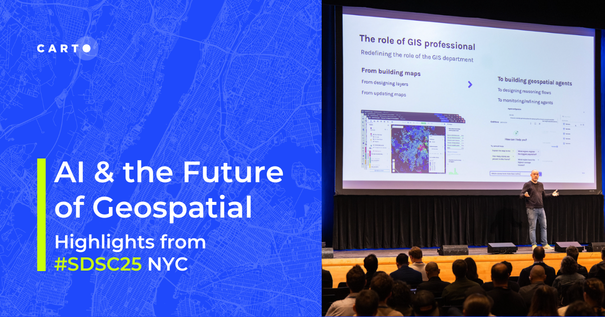
Spatial Analytics in 2026: What's Changing?
Explore how AI, cloud-native tools, and evolving skills are reshaping spatial analytics in 2026, based on insights from 200+ geospatial experts.


Unlock trade-area analysis at scale with H3 Isochrones
Scale travel-time analysis with H3-based isochrones in CARTO. Faster joins, overlap insights, and 96–99% time savings powered by TravelTime.

5 ways to transform spatial analysis for environmental resilience
Discover 5 ways to transform spatial analysis for environmental resilience using cloud-native GIS, automation, and real-time insights.


CARTO AI Agents now integrated with Oracle Generative AI
CARTO AI Agents are now integrated with Oracle Generative AI, enabling secure, governed Agentic GIS and scalable geospatial AI in Oracle Cloud.
.png)
5 best spatial analytics and visualizations of 2025
Discover the best spatial analytics of 2025. Learn how industry leaders use CARTO to analyze historical risk, manage real-time operations, and plan for growth.
.png)
The Changing Role of the GIS Analyst
Discover how GIS Analysts are evolving from map makers to strategic AI-driven experts shaping enterprise decision-making with cloud-native tools.
.png)
Unlock planetary-scale insights with CARTO & Google Earth AI
Learn how CARTO & Google Earth AI make planetary-scale insights accessible with foundation models & Agentic GIS.
%20(1).png)
How to build a geospatial AI roadmap (that actually works)
Only 1 in 4 AI projects deliver ROI. Discover a proven 5-step roadmap for scaling geospatial AI - govern data, automate workflows, and unlock Agentic GIS value.
.png)

.jpg)
GERSifying Overture Places: A Seamless Path to Richer Insights
Discover how the GERSification of Overture Maps Foundation data can help you connect open and premium data to speed up analysis and smarter spatial decisions.
.png)


Introducing CARTO Site Selection AI Agent for Gemini Enterprise
Transform Site Selection with CARTO’s AI Agent in Google's Gemini Enterprise - analyze, compare, and plan new locations in minutes.


CARTO CLI: Automated CARTO management built for AI Agents
Meet the CARTO CLI: a command-line interface that unifies human expertise, automated pipelines & AI agents into one geospatial operating model.


Geospatial Sovereignty: Why it requires both Law and Architecture
Unlock true geospatial sovereignty. This guide explains why a modern tech stack is not enough and how to build a legal and governance framework for your data.

What is Agentic GIS?
Discover Agentic GIS: AI-powered spatial analysis that automates workflows, amplifies GIS expertise, and delivers actionable geospatial insights.
.png)
Geospatial Sovereignty in the Age of AI: A Layered Approach
Geospatial sovereignty in the AI era: why open formats, flexible compute, and interoperable standards are key to resilient, independent digital infrastructure.
.png)

CARTO MCP Server: turn your AI Agents into geospatial experts
Discover how the CARTO MCP Server lets enterprises connect AI agents like ChatGPT & Gemini to geospatial data and workflows via MCP.
.jpg)


Maps with a Mission: Environmental Impact with Spatial Analytics
Let’s dive into how organizations use CARTO to protect biodiversity, advance climate research, manage natural resources, and drive sustainable decision-making.
.png)
Create your expansion strategy with CARTO and Snowflake
Learn how CARTO and Snowflake help you build a winning expansion strategy. Pinpoint ideal locations, leverage spatial analytics & AI for confident growth.
.png)
Personalizing services with spatial analytics in Google Cloud
Personalize services at scale with spatial analytics on Google Cloud. Learn how to boost ROI using CARTO for location-based insights.

From selection to consolidation: 6 ways to optimize site planning
Optimize site planning with data, AI, and real-time insights. Discover 6 of the best strategies in this expert guide from CARTO.

Telco dashboards: Turning accessible data into actionable insights
Discover how CARTO enhances data accessibility, empowering decision-makers with actionable insights to improve network access for senior citizens and communities.


Spatial analysis & visualization for more intelligent tourism planning
Discover how spatial data analysis and visualization empowers tourism organizations to personalize experiences, optimize resources & make strategic decisions.


Urban Mobility Insights with MovingPandas & CARTO in Snowflake
Learn how integrating MovingPandas with CARTO in Snowflake boosts urban mobility analysis by uncovering traffic hotspots and optimizing city transportation.

.jpg)
.png)


Academy
Unlock trade-area analysis at scale with H3 Isochrones
Scale travel-time analysis with H3-based isochrones in CARTO. Faster joins, overlap insights, and 96–99% time savings powered by TravelTime.

Geospatial Foundation Models: Workshop Takeaways
Explore the state of geospatial foundation models, from representation learning to population dynamics, with insights from the CARTO & BSC workshop.
CARTO AI Agents now integrated with Oracle Generative AI
CARTO AI Agents are now integrated with Oracle Generative AI, enabling secure, governed Agentic GIS and scalable geospatial AI in Oracle Cloud.