.png)


Live maps with automated Workflows integrations are here
Create live, always-updated maps with CARTO by integrating Workflows and Builder. Automate geospatial analysis to visualization in one step.
.jpg)
.png)

Spatial Spotlights: Introducing Weekly Geospatial Webinars!
Expand your spatial knowledge with Spatial Spotlights, weekly 15-minute webinars with CARTO experts sharing tips, tricks & best practices.


What's New in CARTO - Q2 2023
Announcing the latest new features in the CARTO platform from Q2 2023.

Do you need to code for a career in data?
Exploring the role of coding in data careers | Do you need to learn, and which language is right for you? Low-code, SQL, Python, R, HTML & Javascript.

%20Koronkowski.jpeg)
Boosting International CPG Market Share with Location Intelligence
Unlock Global CPG Growth with Location Intelligence! Overcome challenges, target the right markets, cater to preferences & boost revenue.


Deploy CARTO spatial apps directly in the Snowflake Data Cloud
Announcing CARTO’s support for Snowflake’s Snowpark Container Services & Snowflake Native Apps for cutting-edge geospatial analysis & optimization.


Using Spatial Composites for Climate Change Impact Assessment
Learn how to assess climate change risks with spatial composites; measure impacts and support decision-making for infrastructure & natural resources.

Unlock the Potential of Spatial Indexes: 10 Powerful Uses of H3
Unleash the potential of H3 and revolutionize spatial data analysis with this lightweight global grid system. Explore real-world examples.


Meet CARTO at the Snowflake Summit 2023 in Las Vegas
We're excited to be attending Snowflake Summit 2023 in Las Vegas! Join us to find out how we're helping companies turn spatial data into insight.
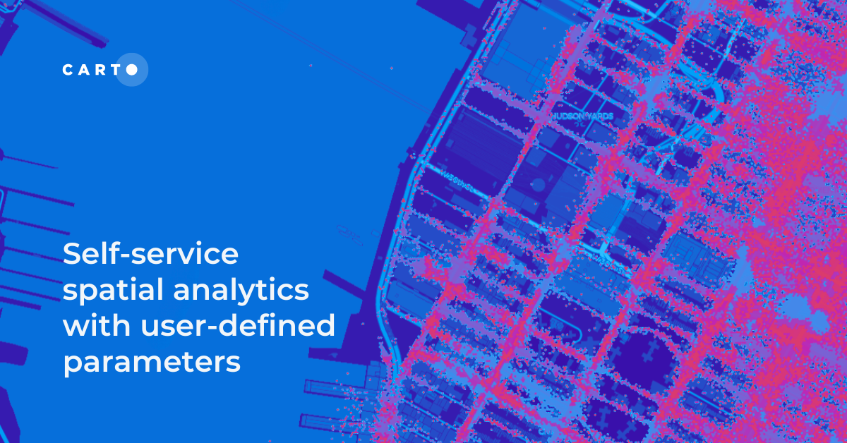
Self-service spatial analytics with user-defined parameters
Unlock Spatial Insights for non-expert users with User-Defined Parameters. Learn how to democratize geospatial data analysis for faster decision-making.


Power 3D Maps with Google Maps Platform, CARTO & deck.gl
Learn how to leverage photorealistic 3D map tiles with this collaboration from Google Maps Platform, CARTO, and deck.gl.
.png)
Improving Customer Experience in Telecoms with Geospatial
A guide to using geospatial to improve the Telecom customer experience, including network optimization, service personalization & targeted support.

Coming Soon: A Week of Geospatial at #SDSC23 London
Learn all about the Spatial Data Science Conference, London 16th-18th May, including geospatial workshops, networking & how to get tickets.

Academy
Live maps with automated Workflows integrations are here
Create live, always-updated maps with CARTO by integrating Workflows and Builder. Automate geospatial analysis to visualization in one step.

Introducing User Comments: boost collaboration in your maps
Boost team collaboration with User Comments in CARTO Builder—add, track, and resolve feedback directly on your enterprise maps.

Navigate global risk with MBI CONIAS Political Risk data
Monitor and forecast global political risks with MBI CONIAS data - spatial, predictive, and ready to support smarter decisions in volatile regions.
.png)
