Spatial Data


What You Should Know About Spatial SQL
“Spatial SQL is a rising star in spatial analysis, and for good reason. Learn about the advantages of learning and using Spatial SQL here.”


Introducing GeoParquet: Towards geospatial compatibility between Data Clouds
At CARTO, we're proud to release the first community proposal to standardize the storage of geospatial vector data in GeoParquet! Learn about our full goal.
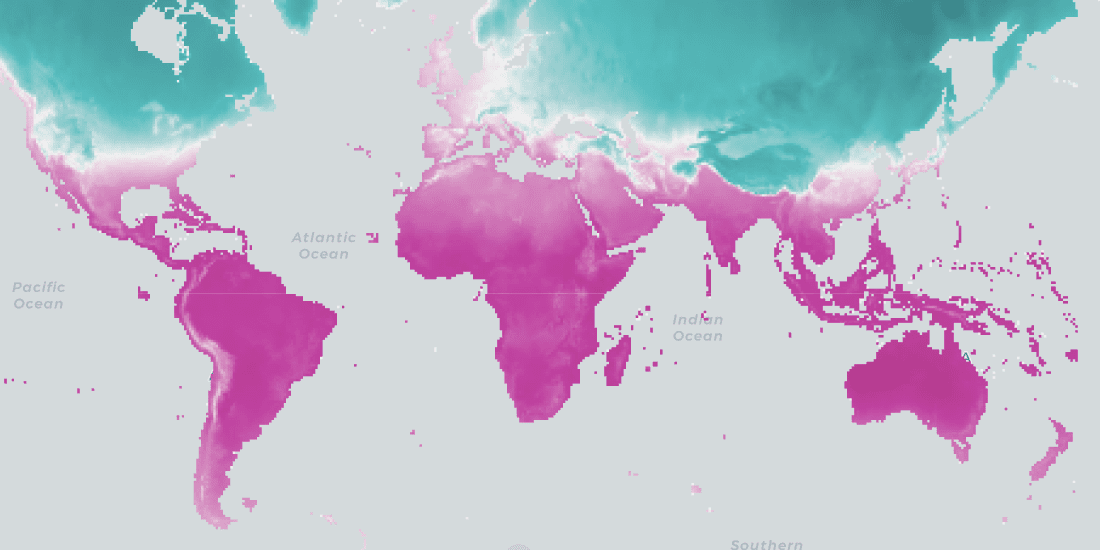


CARTO Spatial Features, now with global urbanity, climatology, & elevation data
We are pleased to announce the release of a new version of CARTO Spatial Features, including new variables for urbanity level, elevation, & climatology

CKDelta’s international human mobility data now available in CARTO
We are pleased to announce our partnership with CKDelta & the inclusion of their human mobility data within our Data Observatory. Learn more & see key use cases.


The Data Appeal Company POI & Sentiment Data now available in CARTO
We are pleased to announce our partnership with The Data Appeal Company, a leader in POI & visitor sentiment data, & their inclusion in our Data Observatory


Building a Spatial Model to Classify Global Urbanity Levels
How can we measure levels of urbanity? Learn how our team designed a spatial model able to classify urbanity levels globally & with high granularity

Foursquare POI & Foot Traffic Data now available in CARTO
We are pleased to announce our partnership with Foursquare, leaders in location technology, & the inclusion of its POI & foot traffic data in our Data Observatory

Lifesight Human Mobility & Footfall Data now available in CARTO
We are pleased to announce our partnership with Lifesight, a leader in human mobility, & the inclusion of their data in our Data Observatory

Short Term Rental Data from Transparent now available in CARTO
We are pleased to announce our partnership with Transparent, a leader in short-term rental intelligence, & the inclusion of their data in our Data Observatory

Spatial Features, the new derived dataset from CARTO
We are excited to announce the release of our first derivative data product providing global demographic data & POI aggregations by category.


Data Monetization: A Complimentary Guide for Enterprise
Download our data monetization guide on how to transform big data into a viable product. See how leading enterprise CDO / CTOs from Vodafone & Mastercard do it.

Data Observatory: Thousands of Spatial Datasets On Demand
We are excited to announce a new release of CARTO's Data Observatory giving users the ability to explore, subscribe, & manage thousands of spatial datasets.

Academy
.jpg)
Telco dashboards: Turning accessible data into actionable insights
Discover how CARTO enhances data accessibility, empowering decision-makers with actionable insights to improve network access for senior citizens and communities.

The first 5 maps everyone needs to make with CARTO
New to CARTO? Start with these 5 essential maps! Learn how to analyze proximity, work with big data, integrate real-time updates, and leverage AI-driven insights.

Unlock raster analytics & visualizations - now in your lakehouse!
Unlock raster analytics in your lakehouse! Analyze & visualize raster data natively in CARTO for unmatched scalability, efficiency & cost savings.