

What's New in CARTO - Q1 2025
Announcing the latest new features in the CARTO platform from Q1 2025! AI Agents, cloud-native raster, QGIS integrations - and more!


Geographic Segmentation: How to get started
Get started with Geographic Segmentation with our guide & tutorials. Leverage demographic & consumer data to tailor your strategy & maximize ROI.


CARTO now available on Snowflake Partner Connect
CARTO is now available on the Snowflake Partner Connect portal - discover how to activate and get started today!


Modernizing the Geospatial Analysis Stack report - get your copy!
Level up your geospatial analysis with our FREE report! Modernize your tech stack for bigger, faster, and more collaborative spatial analysis.


What's New in CARTO - Q4 2023
Explore the latest CARTO platform features unveiled in Q4 2023! GenAI capabilities, pie chart widgets, data export enhancements - and more!


4 ways catastrophe analysts can use spatial analytics
Discover 4 different spatial analytics techniques Catastrophe Analysts can use to understand key climate-related risks for better insurance decision-making.


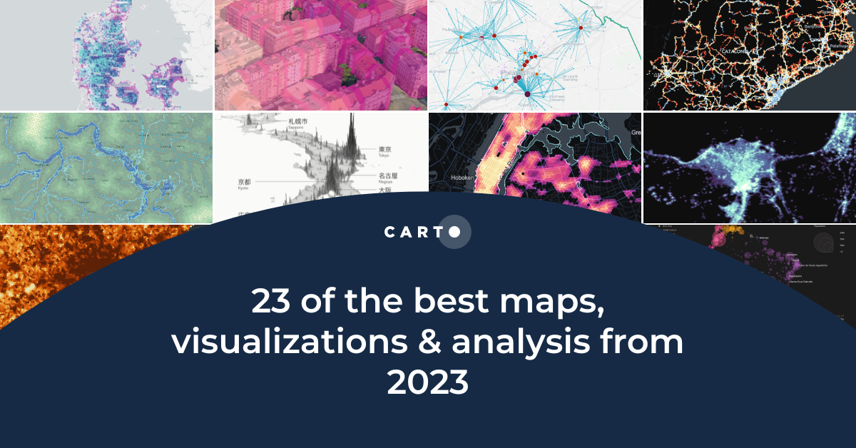
23 of the best maps, visualizations & analysis from 2023
Explore 23 of the best maps and visualizations of 2023. From advanced analytics to awesome visualizations with huge geospatial data.


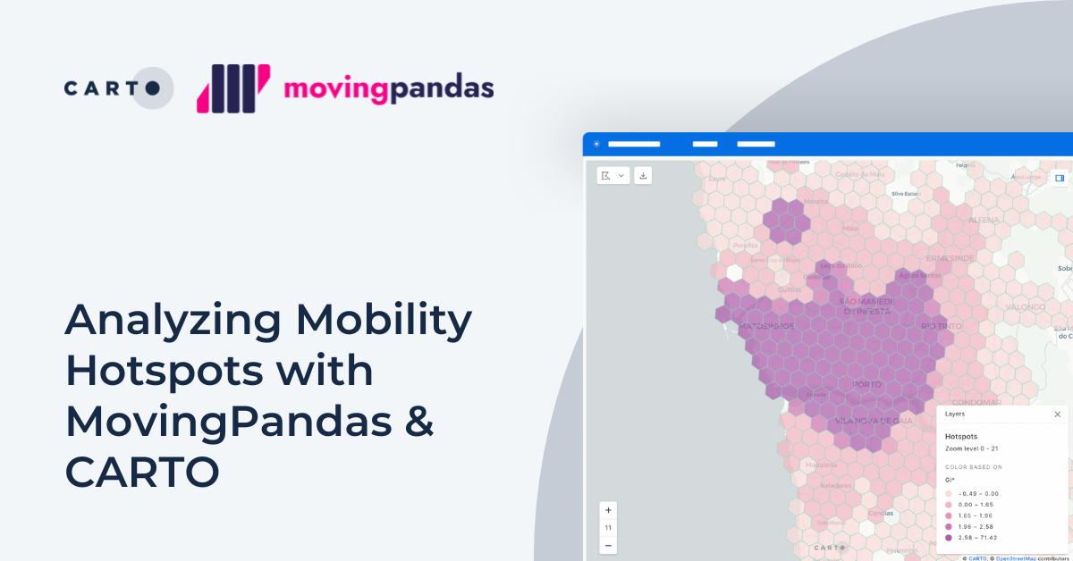
Analyzing Mobility Hotspots with MovingPandas & CARTO
Explore mobility hotspots with MovingPandas and CARTO. Tutorial on transforming trajectory data into space-time hotspots for intelligent decision-making.


Pie Charts: An Effective Data Visualization Tool?
A guide to creating Pie Charts for effective spatial Data Visualization & dashboards, including best practice and examples.


Using crime data & spatial analysis to assess home insurance risk
Discover how spatial analysis of crime data can be used for smarter home insurance decisions, including personalized underwriting & targeted marketing.


Eco-Movement’s EV charging station data now available in CARTO
Drive insights with Eco-Movement's EV charging data - available in CARTO! Learn to use this data to optimize infrastructure & make informed decisions.


Modernizing spatial apps in the cloud with CARTO
Accelerate cloud native spatial app development with CARTO. Discover our APIs and developer frameworks, built for the modern geospatial data stack.


Participatory Mapping to Tackle Food & Water Insecurity in Ethiopia
Learn about UCL ExCiteS' ground-level approach to co-create tools and methods with local communities to map and monitor their land.
Location intelligence resources straight to your inbox
Subscribe to our latest news, product features and events.

Academy


What's New in CARTO - Q1 2025
Announcing the latest new features in the CARTO platform from Q1 2025! AI Agents, cloud-native raster, QGIS integrations - and more!
Boost your Spatial Analytics with Snowflake ML in CARTO
Discover how Snowflake ML in CARTO simplifies machine learning for spatial analytics. Easily build, train, and deploy forecasting models in your workflows.
Telco dashboards: Turning accessible data into actionable insights
Discover how CARTO enhances data accessibility, empowering decision-makers with actionable insights to improve network access for senior citizens and communities.


.png)
.png)


.png)
.png)
.png)


.jpg)


