Data Science
.png)
.jpg)


.jpg)


Expand your analysis with the new CARTO Workflows Extensions
Expand & simplify your spatial analytics with AI-powered CARTO Workflows Extension Packages. Automate tasks, ensure consistency & enhance geospatial insights!


Drive smarter decisions with new BT mobility data in CARTO
Unlock mobility insights with BT Active Intelligence & CARTO! Drive smarter decisions with road-level data, OD matrices & seamless cloud integration.
.png)
The first 5 maps everyone needs to make with CARTO
New to CARTO? Start with these 5 essential maps! Learn how to analyze proximity, work with big data, integrate real-time updates, and leverage AI-driven insights.

24 of the best maps, visualizations & analysis from 2024
Discover 24 of the best maps, visualizations, and analyses from 2024! Explore innovations in geospatial data, user-centric tools, & advanced spatial analytics.
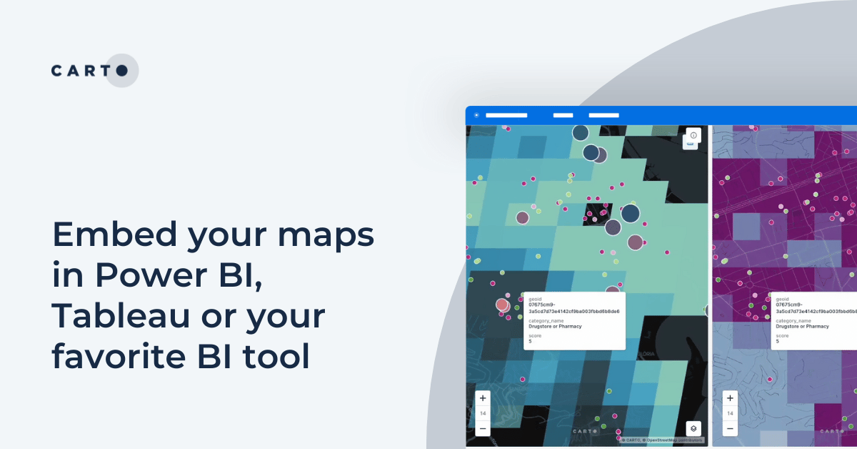

Embed your maps in Power BI, Tableau or your favorite BI tool
Learn how to embed CARTO maps in Power BI, Tableau, and other BI tools to enhance dashboards with interactive spatial data visualization and insights.

Introducing CARTO Heatmaps for Big Data Visualization
Enhance your big data visualization with CARTO's heatmap style! Learn how to impactful, large-scale heatmaps with this guide.

New CARTO Boundaries for faster visualizations in spatial apps
Announcing CARTO Boundaries for faster spatial app visualizations! Join data with pre-generated vector tilesets for efficient processing.
.png)


Announcing Deck.gl v9: WebGPU ready & with TypeScript support
Announcing Deck.gl v9! Get ready for next-gen geospatial rendering, including TypeScript support & preparation for WebGPU.


Spatial analysis & visualization for more intelligent tourism planning
Discover how spatial data analysis and visualization empowers tourism organizations to personalize experiences, optimize resources & make strategic decisions.


Urban Mobility Insights with MovingPandas & CARTO in Snowflake
Learn how integrating MovingPandas with CARTO in Snowflake boosts urban mobility analysis by uncovering traffic hotspots and optimizing city transportation.
.png)

Cloud-native Life Sciences analytics with CARTO & Snowflake
Optimize Life Sciences analytics with cloud-native geospatial solutions using CARTO & Snowflake. Scale data insights for improved decision-making.
.png)
What is Supply Chain Network Design and How Does It Work?
Improve your supply chain network design! Use spatial analysis to optimize your supply chain design for cost savings, efficiency, resilience & sustainability.


10 Examples of Spatial Data & Visualizations for Telecom Analytics
Explore 10 maps using CARTO's cloud-native platform and spatial data for telecom analytics to enhance network optimization, coverage, and customer satisfaction.
.png)

Transforming Data Center Locations for Nautilus Data Technologies
Learn how we are collaborating with Google Cloud to provide Nautilus Data Technologies with an innovative solution for data center site selection and monitoring.
.png)


.jpg)


Academy

Foundation Models: Transforming the Future of Spatial Analytics
Explore how geospatial foundation models like Google’s PDFM are revolutionizing spatial analytics, from disaster response to urban planning with CARTO.
Geo for the Agentic Era: Highlights from #SDSC25 London
Explore how AI, open data, and scalable geospatial tech are redefining GIS at #SDSC25 London. Catch highlights, keynotes, and sessions on demand.

How Iceberg, GeoParquet & CARTO are reshaping geospatial
Discover how GeoParquet, Iceberg, and CARTO are transforming geospatial analytics with cloud-native, scalable, and open data architectures.