.png)


Live maps with automated Workflows integrations are here
Create live, always-updated maps with CARTO by integrating Workflows and Builder. Automate geospatial analysis to visualization in one step.
.jpg)


What's New in CARTO - Q1 2023
Announcing the latest release of new features in the CARTO platform for Q1 2023.


Echo Analytics’ Geospatial Data now available in CARTO
Introducing Echo Analytics' data - now available in CARTO. We explore example use cases of their POI, building and mobility data.
.gif)
A Guide To Using GTFS Data
The General Transit Feed Specification - or GTFS - is a specification for transit data. Use GTFS data for transit analysis & map visualization. Free tutorial.
.png)

New to CARTO: Gloval Analytics’ housing data
See Gloval Analytics' data from CARTO's Data Observatory in action, including real estate, energy performance and environmental risk use cases
.png)

CARTO Achieves Google Cloud Ready - BigQuery Designation
We’re excited to announce that CARTO has successfully achieved Google Cloud Ready - BigQuery Designation.
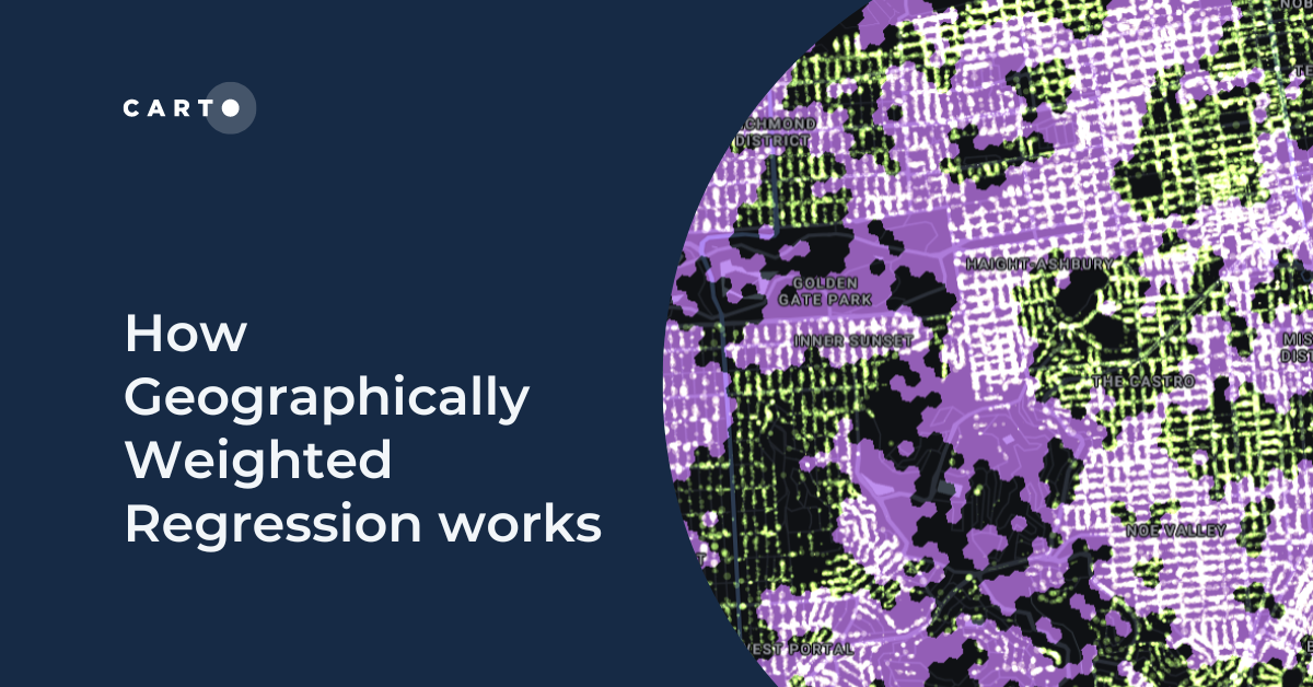
How Geographically Weighted Regression works
Find out what Geographically Weighted Regression (GWR) is, how it works, when to use it & how to use spatial indexes in conjunction.
.png)
How To Optimize Location Planning For Wind Turbines
Optimize wind farm locations with our guide on location planning for wind turbines. Explore criteria, spatial analysis, and use CARTO for a free trial.
.png)

Risk assessment solutions for Insurance - CARTO & g-Xperts
Learn how g-Xperts have worked with CARTO to develop a series of cloud-native geospatial applications, including an advanced risk exposure solution.


Get started with spatial at the Spatial Data Science Bootcamps
Missed the first Spatial Data Science Bootcamp in London? Here’s a recap of the event and information about future events.
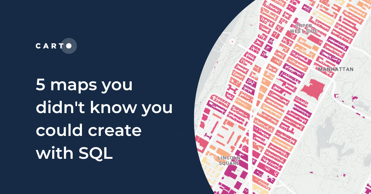
5 maps you didn't know you could create with SQL
Did you know you can use Spatial SQL to create amazing maps and data visualizations? Learn how with these five examples.


Raster data in BigQuery: Unlock new forms of spatial analysis
Learn how to combine your vector and raster-based analytics in the cloud for extra insights and new types of analysis.
.png)
How to use Location Intelligence to grow London's brunch scene
How to use Location Intelligence tools to establish new opportunities for specific restaurant types, based on geosegmentation and catchment areas.

Academy
Live maps with automated Workflows integrations are here
Create live, always-updated maps with CARTO by integrating Workflows and Builder. Automate geospatial analysis to visualization in one step.

Introducing User Comments: boost collaboration in your maps
Boost team collaboration with User Comments in CARTO Builder—add, track, and resolve feedback directly on your enterprise maps.

Navigate global risk with MBI CONIAS Political Risk data
Monitor and forecast global political risks with MBI CONIAS data - spatial, predictive, and ready to support smarter decisions in volatile regions.
.png)
