Spatial Data Science
.png)


Do you need to code for a career in data?
Exploring the role of coding in data careers | Do you need to learn, and which language is right for you? Low-code, SQL, Python, R, HTML & Javascript.


Using Spatial Composites for Climate Change Impact Assessment
Learn how to assess climate change risks with spatial composites; measure impacts and support decision-making for infrastructure & natural resources.
How Geographically Weighted Regression works
Find out what Geographically Weighted Regression (GWR) is, how it works, when to use it & how to use spatial indexes in conjunction.
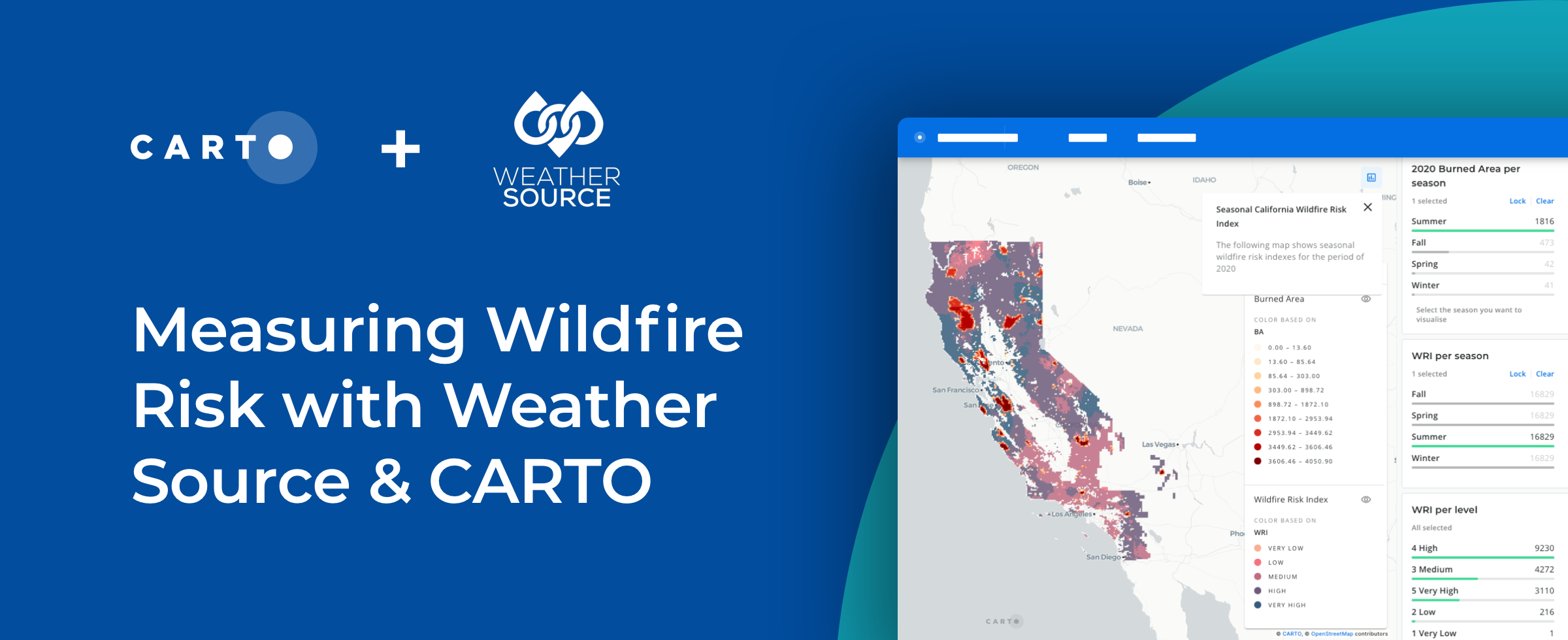
How to Use Spatial Data to Create a Wildfire Risk Map
Mitigate wildfire risks with our guide on creating a Wildfire Risk Map. Explore spatial analysis using Weather Source & CARTO for informed decision-making.

Understanding Retail Store Clusters with Local Outlier Factor Analysis
“See how Local Outlier Factor can be used as a tool for understanding the spatial patterns of retail store locations."


Site Selection for Retailers Using Commercial Hotspot Analysis
Explore an alternative analytical approach to tackle site selection decision-making based on advanced statistical techniques for retailers.


Determine Optimal Store Locations using White Space Analysis
How do you determine where to open a new retail location? Discover how to use White Space Analysis & Spatial Data to make more informed decisions.


How to build a revenue prediction model with CARTO & BigQuery
Discover how to use CARTO's Analytics Toolbox for Google BigQuery to train a spatial predictive model to predict annual store revenues across a territory


Geographically weighted regression for spatial analysis in BigQuery
We are pleased to announce that the CARTO Analytics Toolbox for BigQuery now supports the Geographically Weighted Regression method–read about its usage.

How to Enrich POS Data to Analyze & Predict CPG Sales
Learn how to enrich & perform spatial modeling on retail point of sale data to analyze CPG sales & predict future performance in new locations


3 Spatial Data Science Trends to Watch in 2021
Geography is changing faster than ever before. Read our predictions for the key Spatial Data Science trends & industries to watch in 2021.

Predicting Traffic Accident Hotspots with Spatial Data Science
Road traffic injuries are a leading cause of death & have a big economic effect. Read how Spatial Data Science can identify dynamic hotspots & reduce accidents.

Academy
.jpg)
Telco dashboards: Turning accessible data into actionable insights
Discover how CARTO enhances data accessibility, empowering decision-makers with actionable insights to improve network access for senior citizens and communities.
The first 5 maps everyone needs to make with CARTO
New to CARTO? Start with these 5 essential maps! Learn how to analyze proximity, work with big data, integrate real-time updates, and leverage AI-driven insights.

Unlock raster analytics & visualizations - now in your lakehouse!
Unlock raster analytics in your lakehouse! Analyze & visualize raster data natively in CARTO for unmatched scalability, efficiency & cost savings.