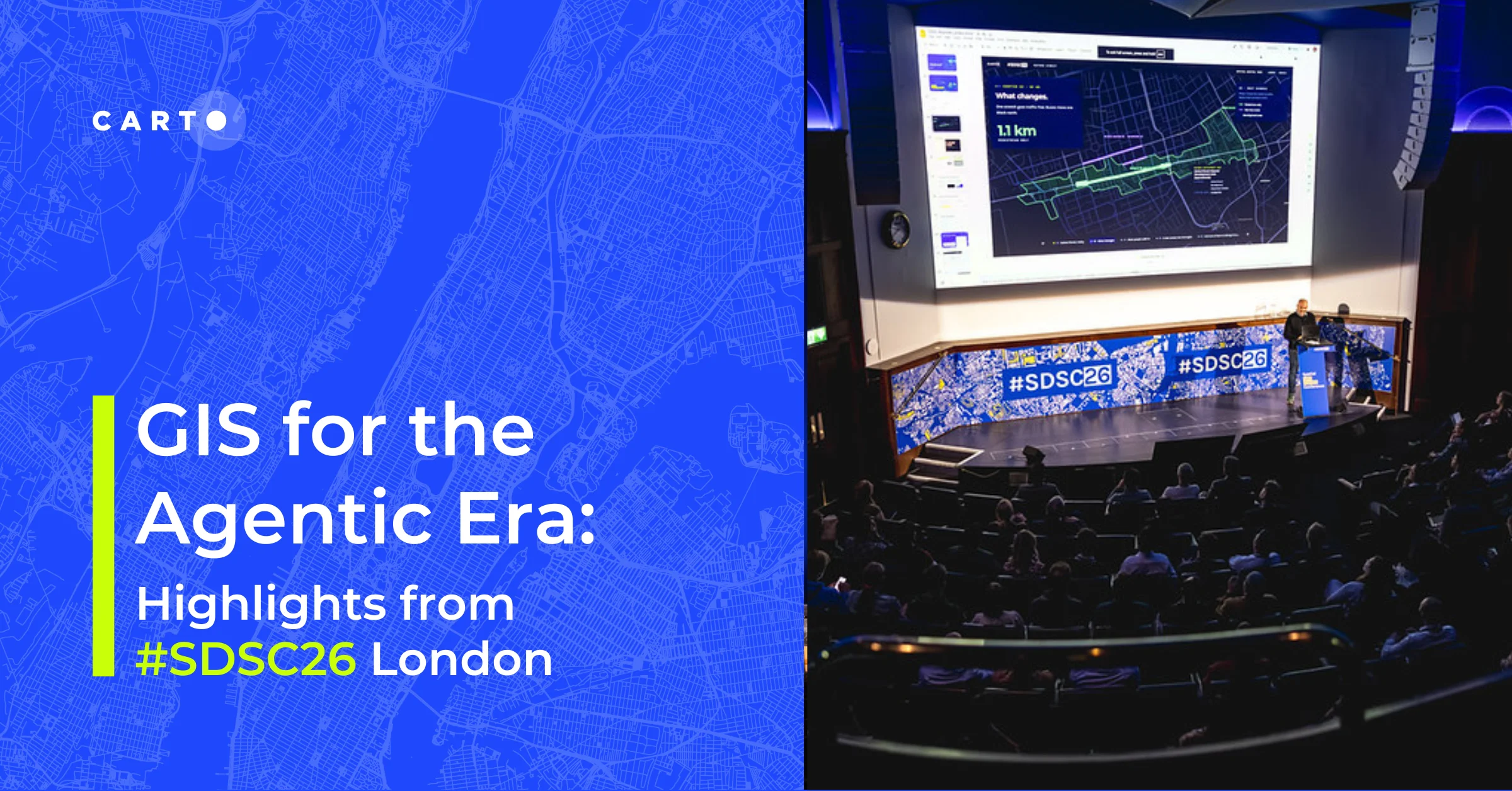
What We Learned About Open-Source Geospatial Technology at FOSS4G


FOSS4G the annual International Conference for Free and Open Source Software for Geospatial was held last week in Boston Massachusetts. FOSS4G is an important conference for the Geospatial community and one that CARTO has supported for the last several years.
Our team was on the ground giving presentations talking about location intelligence at our booth and learning from the thousands of other attendees present.
We asked our team to tell us about what they thought were the most interesting innovations and developments that they heard over the week. Here’s what they said:
Real-Time Data Syncing
"While working the CARTO booth at FOSS4G I fielded many questions about our platform’s real time data syncing capabilities. The interest in real-time data syncing signals an increasing demand from citizens businesses and governments in the ability to collect analyze and visualize geospatial data during decision making process."
from Tyler Bird Community Development Strategist
Data Scientists Using Geospatial Tools
"Unlike past FOSS4G conferences this year’s conference featured a lot of talk concerning Jupyter notebooks which suggests that a lot more data science projects are using geospatial tools. In addition there were many presentations and demos using R as well as cool demos of on-demand neural network predictions of satellite images."
from Andy Eschbacher Map Scientist
FOSS4G Embraces Business Professionals
"There seemed to be a larger sense of the impact that free and open source software can have for cities governments and businesses at this year’s FOSS4G. Whereas a few years ago there seemed to be far fewer business professionals this year’s conference featured for the first-time B2B sessions and events which reflected a larger focus on geospatial solutions not only among experts and enthusiasts but also business entrepreneurs from various industries. Although attendees debated whether this trend resulted from the growing levels of convenience provided by maturing geospatial technologies or as a result of more open source tools and platforms the widespread appeal of geospatial data sharing technologies is undeniable."
from Santiago Giraldo Director of Product Marketing
Morals of Software Freedom
"From the keynote speeches by Paul Ramsey and Richard Stallman I learned about the economics of open source software and the morals of software freedom. During the conference I was excited to meet people using CARTO for mapping the Women’s Marches from January 21st displaying and analyzing public health data and sharing official property and land use data. There was a lot of interest in the shift of CARTO towards spatial analysis and making the methods accessible to users."
from Michelle Ho Data Scientist
Serverless Architectures
"An area that attracted a lot of attention during the conference was Serverless Architectures which will allow for more complex computations including spatial analytics by leveraging both client-side tech and microservices beyond past limitations posed by physical servers."
from Jaak Laineste Head of Mobile SDK
"Like Jaak I was also surprised to see the amount of interest around Serverless Architecture which was the topic I spoke on at the conference. I had thought this would be a niche topic flying under the radar of most conference participants but in fact my talk was schedule in a stream with over a half dozen other presentations! Another topic that was less surprising but no less present is how people are starting to cope with big data by using less singular database architectures and more parallel processing technologies like Spark and Kubernetes."
from Andrew Thompson Solutions Engineer
Open Source Libraries
"At FOSS4G I enjoyed a presentation on the history of PROJ.4 a library assisting with cartographic projection conversions which has faced similar challenges as the Java Topology Suite (JTS) library. Although we are PostGIS PROJ.4 and JTS are nevertheless at the core of our community."
from Jorge Sanz Solutions Engineer