

CMaps Analytics & CARTO: a Location Intelligence Integration for BI Dashboards


CARTO and CMaps Analytics are working in the same direction to make location intelligence more accessible to more people than ever before.
With a wide range of business cases and ecosystems, independant software vendors like CMaps Analytics specialize in embedding location analytics into platforms like SAP and are taking advantage of CARTO's platform to enhance their software solution.
What is CMaps Analytics?
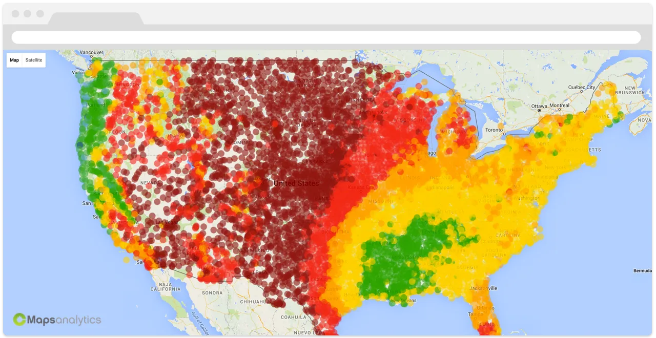
CMaps Analytics is a cloud based JavaScript API designed to make embedding interactive maps easier. As a Google Maps Technology Partner, CMaps Analytics inherits Google Maps and injects hundreds of configurable business intelligence capabilities and over 20 data visualization layers on top. With a cloud-first approach, CMaps Analytics has built a series of extensions so customers can plug-in location intelligence into platforms like SAP BusinessObjects, Microsoft Sharepoint, and now Google Sheets.
Now, CMaps Analytics includes four brand new CARTO map layers that make embedding CARTO powered analysis a breeze.
In Action
CMaps Analytics cloud APIs are used for native extensions into other platforms like SAP. Customers who invest in CMaps Analytics build interactive visualizations using their on-premise data. However, the “where” questions that customers are increasingly asking require data that does not exist in their transactional system or BI data warehouse.
That is where CARTO comes in to deliver significant value:
“Before CARTO, when a customer approached us wanting to take demographics public or open sourced data, or had a massive data extract from a system that is not integrated with a BI data warehouse, it was a laborsome process that required GIS ” said Evan Delodder, CMaps Analytics CTO. “Now we can take that data and have it loaded into CARTO, secured, and prepared as beautiful visualizations into BI reports and dashboards the same day with minimal effort.”
Benefits
For CMaps Analytics customers who are primarily embedding cloud location intelligence into on-premise business intelligence, the benefits of CARTO are primarily focused on acquisition and generation of new geospatial powered insights.
The value CARTO provides to CMaps Analytics is its powerful, flexible APIs and services for delivering interactive big data visualization layers. Currently, CMaps Analytics is using CARTO as a native data visualization layer type so customers can:
Additional plans for deeper integration and expansion of services is planned in the near future.
Did you miss out on this great webinar? Please find a recording of this session below!
Happy data mapping!


