The open source geospatial community comes together again at FOSS4GNA


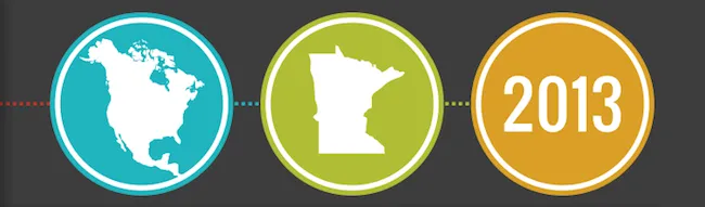
The open source geospatial community has some of the best people and the most exciting ideas. That’s why we are always excited to take part in one of a few conferences that bring so many of those great people and amazing ideas into the same place for a few days. This Wednesday marks the start of FOSS4G-NA a fairly new meeting meant to give the North American FOSS4G community an additional and slightly easier way to get together outside of the big FOSS4G conference. It has been a great addition.
Right now we are putting the finishing touches on a >couple of presentations we will be giving at the conference. The first presentation is a lightning talk titled The future of geospatial data formats at CartoDB. In that talk we want to show you some of the ways we are using novel formats and the modern web to push geospatial data visualization. The second is titled Building Geospatial Applications that can read and write data to CartoDB without proxy. In that presentation we are showing how CartoDB can be used without any additional backend infrastructure to do some interesting things on the web.
If you can’t make it be sure to follow the conversation on Twitter. If you can make it find us (@CartoDB or @andrewxhill) and let us know what you are up to using CartoDB or ask us any questions you are dying to get answered. Looking forward to seeing everyone there!