

Balloon Mapping at the NY office


This week we've been experimenting with balloon mapping. Sense Maker (the team behind the Air Quality Egg and other projects) donated helium for the EcoHackNYC and there was some left. After the first tests and thanks to the big help of Liz and Leaf from The Public Laboratory we flied our own balloon over the office in NYC.
These are a couple of images from the experiment taken with a Canon camera attached to the balloon:
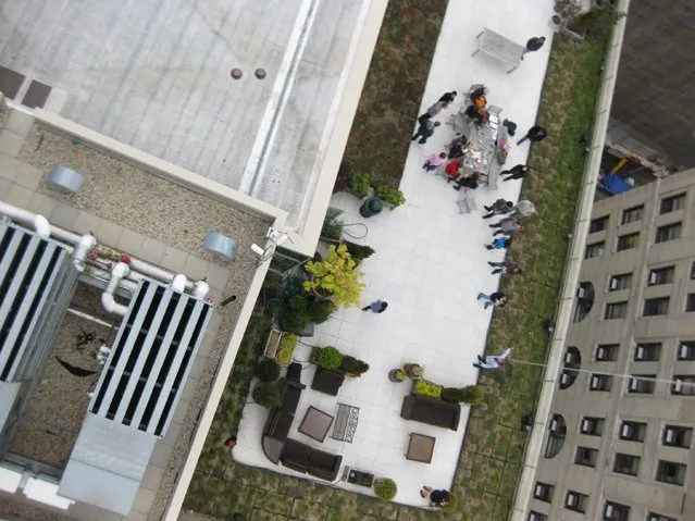
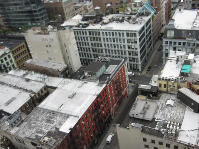
The balloon mapping kit is developed by The Public Laboratory and offers "a low cost easy to use and safe methods for making maps and aerial images". The project started by mapping the BP oil spill in the Gulf of Mexico and it's being mainly used for civic and environmental issues.
At EcoHack The Public Laboratory worked on new sensors for Air Quality monitoring that transmits real-time data to the ground. We added them to our balloon and learned how to use the stabilizers and everything else needed.
We are going to do a new test also in NYC and we'll show you the results. We'll keep you updated on this exciting project.


