Towards a Carbon Neutral Future with CARTO & NetCarbon


The release of carbon dioxide (CO2) into the atmosphere plays a detrimental role in the race to Net Zero. Since the 18th Century, human activity has raised atmospheric CO2 levels by 50% as a result of the burning of fossil fuels, deforestation and industrial processes.
NetCarbon, a climate-focused scale-up based in Bordeaux, is taking a stand against climate change. Winners of Planet’s Copernicus Masters competition in 2021, they strive to help farmers, territories and project owners to measure, improve and value carbon sequestration using satellite imagery and algorithms. With a strong commitment to reducing greenhouse gas emissions and increasing CO2 sequestration (the process of storing atmospheric carbon dioxide), NetCarbon is at the forefront of achieving carbon neutrality. Explore their history and mission on their website.
Turning complex geospatial data into actionable insights
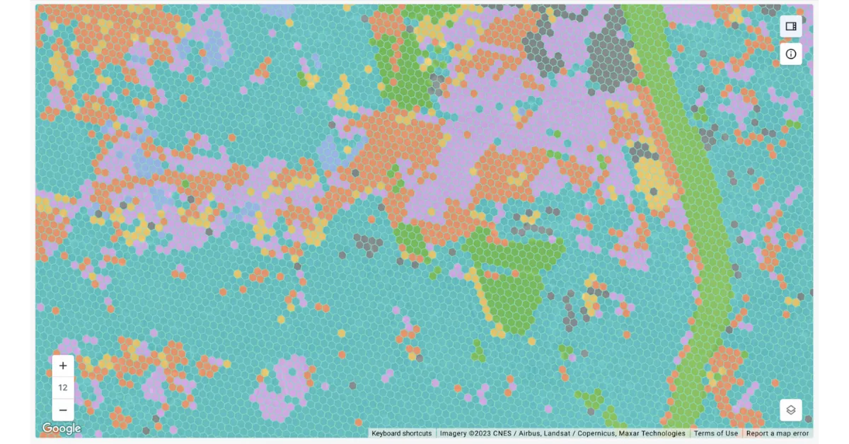
As NetCarbon deals with large amounts of satellite data, a scalable solution capable of handling Big Data was imperative. Moving away from their initial coding-intensive approach, they sought a low-code solution that could efficiently generate algorithms. CARTO’s seamless integration with Google BigQuery complimented their existing tech stack and gave NetCarbon the capacity to connect more than 10 terabytes of data to their database in seconds using BigQuery’s advanced Tiler function. As a result, NetCarbon and their clients can visulize billions of points directly in their data warehouse.
Leveraging out-of-the-box spatial indexing functionality such as H3 allows NetCarbon to compute data in real time, overcoming the challenge to visualize large spatial datasets. This has effectively streamlined their workflow. Take a further look at CARTO’s Analytics Toolbox for BigQuery here.
As NetCarbon continues to grow, they seek to integrate more spatial datasets from CARTO’s Data Observatory and work with CARTO as a Partner to enhance their insights.
Changing the game with cloud-native Spatial Indexes
We’d like to thank Basile Goussard, Co-Founder, for sharing NetCarbon’s story with us! We look forward to watching their vision grow towards carbon neutrality.
CARTO’s cloud-native approach and the ability to use H3 at scale was a big game changer for us. We can now compute data in real time without the need for heavy coding. Working with the CARTO platform has been extremely impactful, as we can now easily visualize and analyse massive amounts of satellite data.Basile Goussard, Co-Founder at NetCarbon
To find out more about how NetCarbon are tackling the climate crisis, check out their customer story here.