

Analyzing Food Access in NYC During COVID-19


Around 40% of confirmed COVID-19 cases in the US are in the state of New York with over 50% of these within New York City itself (source). This week the USNS Comfort a Navy hospital ship docked on the West Side of Manhattan to serve as a referral hospital for patients not infected with COVID-19 allowing civilian hospitals on shore to focus on treating patients infected with the coronavirus.
We've already looked at the challenges being faced by grocery providers in getting food to those in isolation along with possible solutions using route optimization and spatial analysis but what about those unable to afford such services? Even though New York City's poverty rate has fallen in recent years according to the Center for New York City Affair approximately one in five New Yorkers lives in poverty and nearly half the city's households are considered near poor.
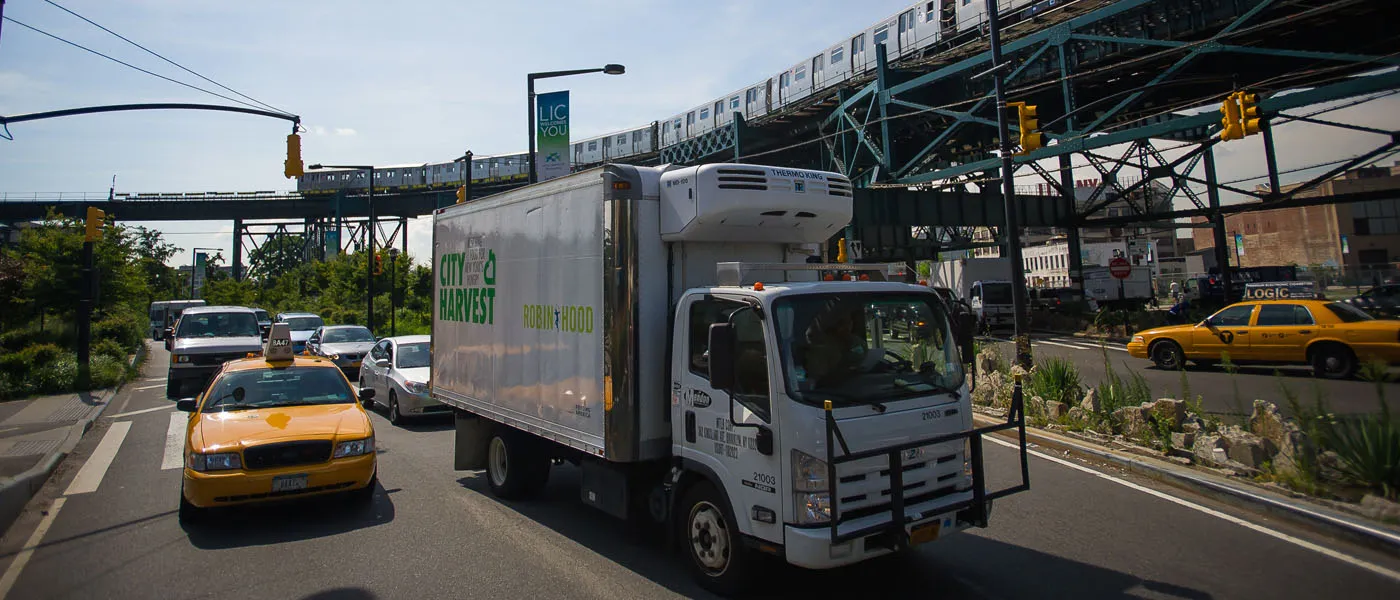
Continuing our series of how geospatial technology is being used as a tool for good in these times we took a look at how one of our grantees Territorial Empathy inspired by the NYC FoodHelp map and working with City Harvest decided to redesign it for the COVID-19 crisis.
It Started with a Potato
As documented on City Harvest's website the organization started thanks to a potato;
"Helen verDuin Palit (City Harvest's first executive director) had been working at a soup kitchen and saw how difficult it was to feed all the people who came in for lunch. While eating a potato skins appetizer at a nearby restaurant she asked the chef what he did with the insides of the potatoes. When he told her that this unused portion was discarded Helen said that the soup kitchen could really use the food that the restaurant was able to offer. The next day the chef donated 30 gallons of cooked potatoes – which the kitchen used to thicken the soup it was serving. This quick meal out with friends led to the creation of City Harvest in December of 1982."
To date City Harvest has rescued and delivered over 700 million pounds of nutritious food for hungry New Yorkers.
A Design Laboratory
Territorial Empathy brings together urbanists architects and data scientists who believe that design has the power to inspire the empathy needed to create more inclusive and sustainable places. Their work sheds light on the issues that most affect vulnerable persons in urban areas: women children and migrants. They aim to expose the plight of the people and places that are often overlooked and advocate for their improved quality of life.
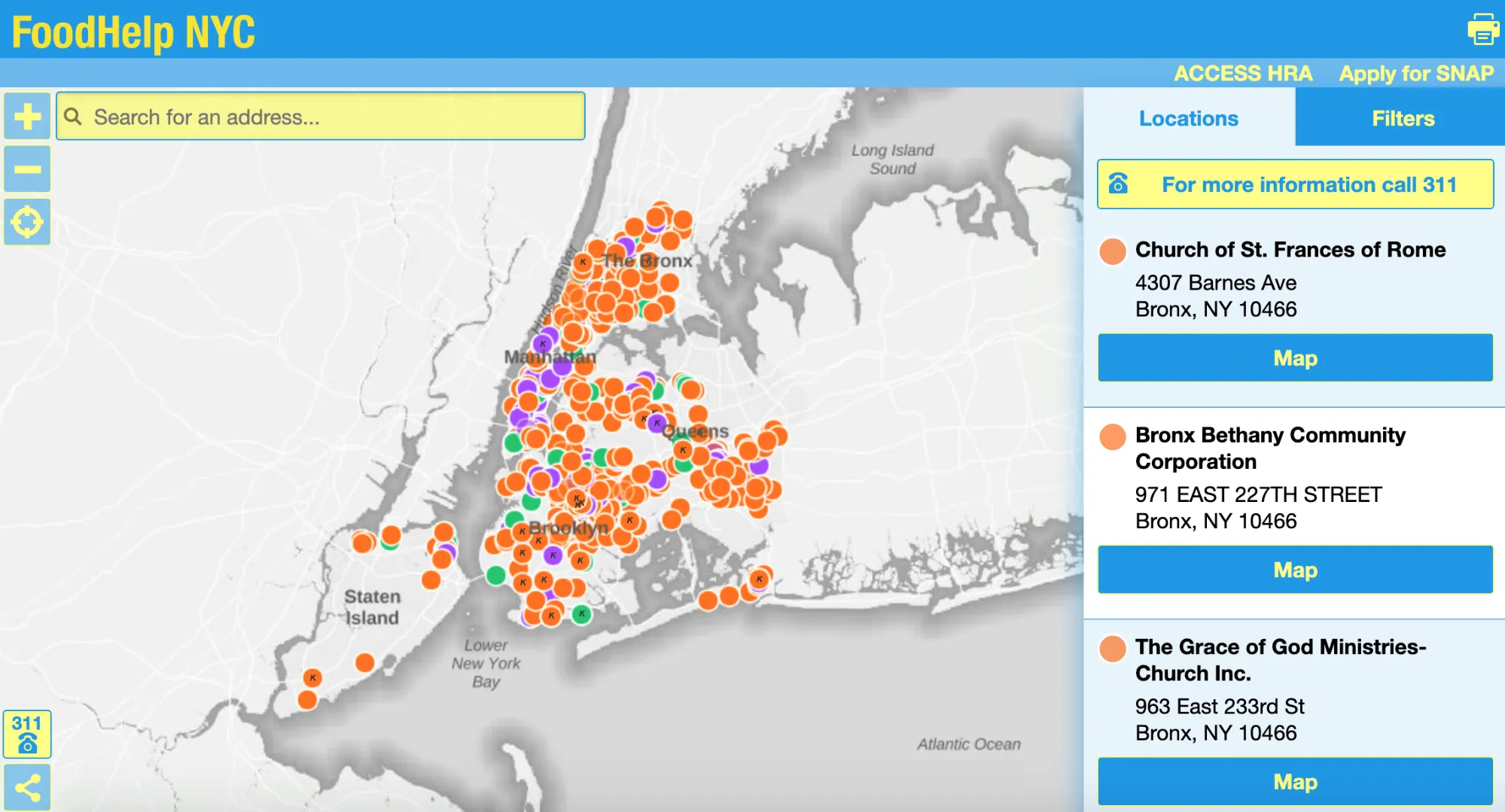
NYC FoodHelp Map
City Harvest delivers food to pantries (providing groceries to cook at home) and community kitchens (providing hot meals) throughout the five boroughs of New York. Together with the City of New York the NYC FoodHelp map helps New Yorkers discover where these locations are.
Responding to the COVID-19 Pandemic
Inspired by the NYC FoodHelp map Territorial Empathy redesigned it for the COVID-19 crisis. Born out of a request from the LatinX community of Sunset Park Brooklyn the map tells community members where they can find community kitchens food banks and school meal pick up locations (available from 07:30 - 13:30). Each location has an interactive popup with more information about each site. So far the map has been shared over 400 times.
Going forward Territorial Empathy also want to help other community organizations in NYC map emergency services that can be of service to women children and migrants. They will be working with immigrants rights organizations to see how they can reach vulnerable communities particularly undocumented immigrants with emergency services and goods.
In need of support to apply Spatial Analysis and Spatial Data Science in the fight against COVID-19?


