

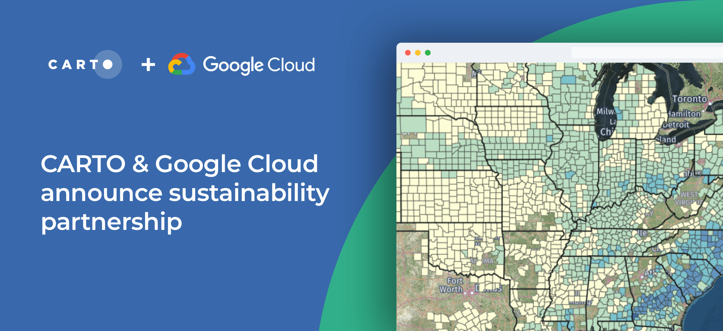
CARTO & Google Cloud announce sustainability partnership to fight Climate Change


Today we’re excited to announce a further partnership with Google Cloud at the 2021 Google Cloud Next event supporting their ambitious sustainability program - enabling global organizations to better understand the impact of climate change.
As well as CARTO the program brings together leading sustainability-focused companies such as Climate Engine Geotab NGIS and Planet who will provide crucial applications and more than 50 petabytes of data. These datasets include satellite imagery demographics mobility and telematics data - enabling Google Cloud customers in both the private and public sector to approach their sustainability initiatives in a more data-driven way using Google’s BigQuery machine learning (ML) and Earth Engine products.
Read more about this announcement in Google's Press Release.
So how does it work?
Our Spatial Extension for BigQuery enhances BigQuery with geospatial data analysis and visualization allowing customers to leverage data from Google Earth Engine perform Spatial ML with Gemini Enterprise Agent Platform (formerly Vertex AI) and overlay all that in rich 2D or 3D using the open-source data visualization library deck.gl and Google Maps Platform’s Maps JavaScript API.
Our extensive spatial data catalog is also natively available in BigQuery so customers can access pre-processed spatial data without needing to extract transform or load it or perform complex spatial transformations for analysis.
All of this together can enable a wide range of use cases such as catastrophe analytics climate resilience analysis extreme weather monitoring biodiversity analysis or deforestation tracking - among others.
“The industry’s cleanest cloud”
Kevin Ichhpurani Corporate Vice President Global Ecosystem at Google Cloud reflected on the announcement in Google’s announcement:
We are committed to helping customers meet and exceed their sustainability goals with the industry’s cleanest cloud and through solutions that will help customers across industries make more data- and sustainability-driven decisions. These partnerships will help businesses and governments take action and accelerate their sustainability initiatives. We’re proud to work with these leaders and to support customers on their sustainability journeys.
Luis Sanz our CEO also shared:
Geography is fundamental to the study of sustainability, but the industry’s current knowledge of it is very limited. Organizations, both public and private, will need better data and analysis to help them adapt their processes quickly. Our spatial analytics platform brings together the best of Google’s geo partner ecosystem and the power of BigQuery, to provide the data, computing scalability and interoperability required to tackle some of the world’s most challenging sustainability problems.”
Why CARTO & Google Cloud?
Together our solutions provide the number one choice for practitioners looking to carry out cloud native GIS - and when it comes to sustainability our platform is trusted by a wide range of organizations such as Greenpeace Vizzuality Litterati Indigo WWF the Marine Conservation Institute The World Bank and the Institute for Sustainable Cities.
 | This project has received funding from the European Union's Horizon 2020 research and innovation programme under grant agreement No 960401. |


