CARTO joins The Urban Computing Foundation Technical Advisory Committee


As part of CARTO's long-standing commitment to Open Source Open Data and Open Science we have collaborated with many organizations providing access to next generation geospatial technology data and models. Today we are very excited to announce that CARTO's Javier de la Torre our Founder and Chief Strategy Officer is joining the Urban Computing Foundation (UCF) Technical Advisory Committee.
The economic growth of cities is accelerating rural to urban migration. From 750 million people living in urban areas in 1950 that number rose to 4.2 billion in 2018. With such an explosion many cities are already struggling with environmental degradation traffic congestion inadequate urban infrastructure management of resources or social inequality.
##_INIT_REPLACE_ME_VIDEO_## ##END_REPLACE_ME_VIDEO_##
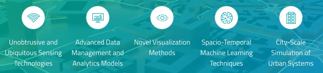
In order to analyze understand and act on all of these challenges we know that Spatial Analytics is critical. As more cities start adopting continuous analysis methods based on Location Data Streams we will see increasing adoption of spatial modeling and live city scale simulations. This will not only help to understand what is happening today but also to predict what will happen in different future scenarios.
It is with this vision in mind that we see an ecosystem of sensing techniques analysis visualization modeling simulation and applications all connected in interoperable ways. The Urban Computing Foundation is a neutral forum for accelerating open source and community development to enable this vision.
This is no mean feat as in order to realize a fully interconnected system where data can flow seamlessly from sensors all the way to simulation models there are a lot of technologies data formats scientific methods and policies that will need to be agreed upon. We think this can only happen in an open ecosystem where private and public organizations can collaborate.
In this new era of Location Intelligence we require technology and data that connects seamlessly is designed for the cloud made available to Data Scientists and accessible to everybody.
The geospatial industry has become fragmented in recent years despite efforts to standardize - largely because the pace of innovation in the private sector is pushing the boundaries of what technology can actually provide. This means that the components needed to make this ecosystem work don't always talk to each other effectively. We believe that the UCF is an optimal forum to provide coordination glue projects together and provide the advocacy and awareness that is needed across the industry.
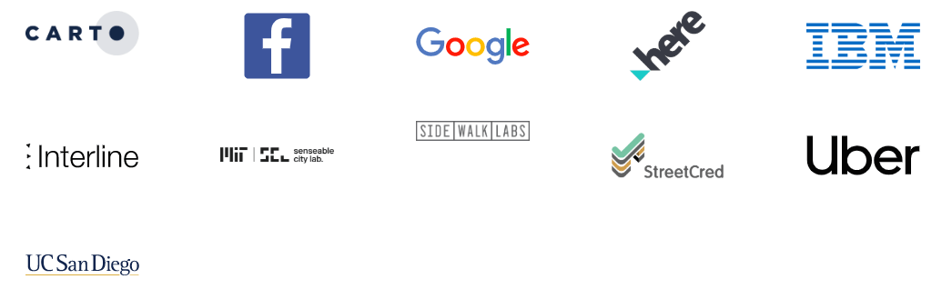
Facebook Google HERE IBM Interline MIT Senseable city lab Sidewalk Labs StreetCred Uber and UC San Diego are already part of it and under the umbrella of The Linux Foundation we are excited to be a part of this initiative.
Collaboration and Contribution Towards Urban Computing
By joining the technical advosry committee Javier aims to contribute expertise to UCF technical discussions in 3 main areas where CARTO is active:
Open Source software components and "glue" projects:
- Collab with Kepler.GL and Deck.GL and CARTO.VL
- CARTO's Traffico solution and data pipelines between Waze
Connecting the community:
- Participating and convening technical discussions with the community
- The Spatial Data Science Conference: Bringing More Data Scientist into Spatial
Data & Analysis:
- Promoting next generation Spatial Data Infrastructure Architecture Interoperability and standards
- Contributing Common grids / Modelling / Spatial Feature Engineering from our Spatial Data Science Team
Learn more about CARTO's work with cities like Mexico City!