

What You Should Know About Spatial SQL


Traditionally spatial analysis has been behind the rest of the analytics world when it comes to features and capabilities. However this is no longer the case due to the rise of spatial cloud computing using SQL. In recent years the use of Spatial SQL has been growing across a variety of industries as more teams have begun to incorporate it into their modern GIS and geospatial stacks.
In this quick guide we’ll cover:
- The definition of Spatial SQL
- How Spatial SQL differs from traditional SQL
- The advantages of using Spatial SQL for analysis among others
A Brief Overview: What is Spatial SQL and How is it Different from SQL?
Spatial SQL is a query language typically used by GIS analysts data scientists and developers. Although Spatial SQL uses the same structure and elements of SQL it has deeper capabilities that assist in a number of areas like faster geospatial data processing and analysis and support spatial modeling and machine learning.
Unlike the traditional version of this language Spatial SQL enables users to work with geometry (feature shapes) and geography (feature locations) data types. It can help users analyze data types in the form of points lines and polygons; and the geospatial data types analyzed can include addresses place names latitude and longitude coordinates countries states roads etc.
Additionally as well as using internally first-party (think CRM loyalty card and e-commerce sales) data organizations can also take advantage of open data streams from spatial data catalogs to further enrich their analysis – the publicly available premium spatial data themes being used more frequently include financial road traffic human mobility and climate among others.
What Are the Benefits of Spatial SQL?
SQL in itself is a highly beneficial tool to manage large geographic databases. However Spatial SQL provides numerous additional advantages that take spatial analysis to the next level. If you find yourself asking “why should I use Spatial SQL?” or “is Spatial SQL valuable to learn?” just know that when utilizing this form of the common programming language individuals can…
- Experience more efficiency in analytics workflows and task management
- Work with Big Data in SQL-enabled databases (like PostgreSQL with PostGIS Microsoft SQL Server MySQL Oracle Spatial) and cloud data warehouses (such as Google BigQuery Databricks Snowflake and Redshift) but also better manage and analyze data in more “traditional” geospatial formats such as CSVs and shapefiles
- Steer clear of silos by supporting cross-functional collaboration between teams conducting spatial analysis and teams performing non-spatial analysis providing confidence that everyone is working from a single-source-of-truth database
- Find more opportunities for repeatability both inside and outside of an organization
- Open up accessibility for the wider analytics community that may specialize in less technical departments such as business intelligence or operations

Who Can Use Spatial SQL?
At the end of the day anyone can learn – and start programming in – Spatial SQL. Its concepts syntax and formatting are logical and easy to remember. Nevertheless Spatial SQL is typically the best fit for data scientists spatial data scientists GIS users developers analysts and teams who work with data in SQL-based databases or warehouses.
As adoption of this language continues to grow there has been a rise in Spatial SQL use by titles associated with less technical roles like marketing business intelligence and operations.
Spatial SQL User Examples
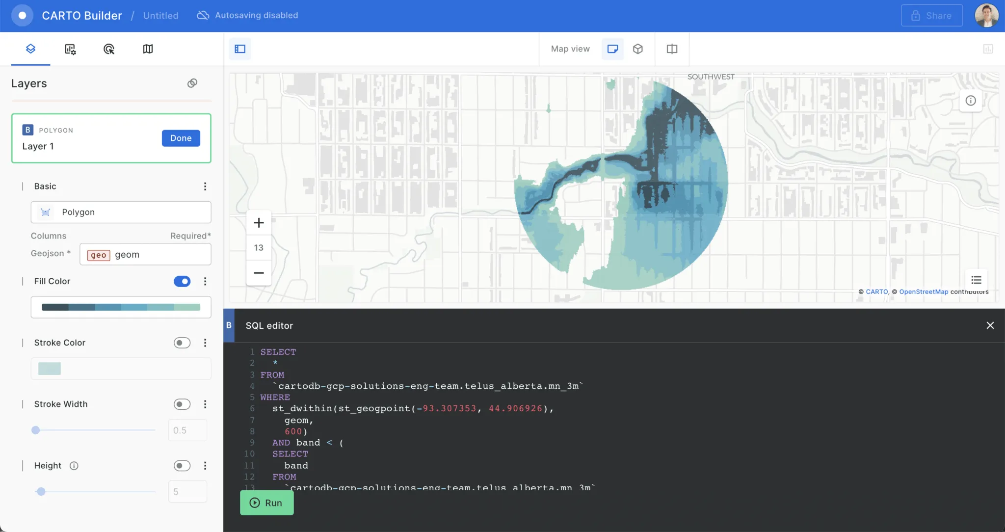
A GIS analyst may use data stored in a Spatial SQL database for querying analysis and visualization. The analyst could use these datasets to gain insights using spatial relationship functions in Spatial SQL and other tools. They then access and visualize the data and analysis through the use of tools like QGIS CARTO or Python.
A marketing or general business user on the other hand may access this data without realizing what it is. They may review data that was generated by spatial data scientists from Spatial SQL databases in reports maps and business intelligence tools which will enable them to create access and interpret insights more accurately.
Is it Hard to Learn Spatial SQL?
Although there may be a bit of a curve when it comes to learning Spatial SQL (especially if you haven’t used SQL previously) if you’re switching from another language like Python the return on investment makes up for the effort. Also users of “point-and-click” GIS platforms will typically have an understanding of basic SQL syntax and operators through creating definition label and symbology queries. This will make the transition to more complex Spatial SQL processing a smaller jump since those with this background wouldn’t be starting entirely from scratch.
How Do I Get Started?
With more and more organizations looking to utilize this tool to conduct spatial analysis the number of resources are only growing for folks looking to get started with Spatial SQL. From webinars and podcasts to tutorials and articles there are plenty of online resources available for beginners and advanced users alike. You can view a helpful list of Spatial SQL learning resources here.
What Does the Future Hold for Spatial SQL?
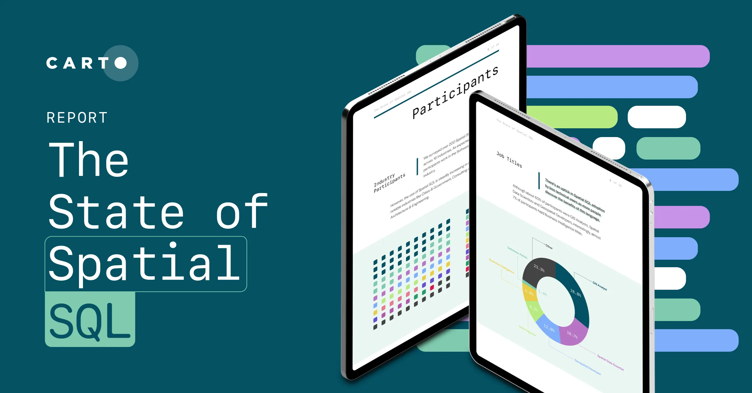
Curious about the state of Spatial SQL use in GIS and what the future holds? Want to dive deeper into the benefits of learning this language? We’ve got you covered! In order to have a better understanding of the impact of Spatial SQL in GIS as well as its advantages and unique use cases we surveyed over 200 professionals using spatial analysis from organizations across the world in the State of Spatial SQL Survey 2022.
Read about new insights including what to expect as adoption continues to gain momentum in CARTO’s State of Spatial SQL report. Download it here.


