

What is Fleet Management & Best Spatial Practices


Fleet Management is an increasingly important and valuable part of the Logistics industry especially during recent times when ensuring access to essential goods and services is paramount. Whilst other industries have been negatively affected by the COVID-19 pandemic the Fleet Management market is expected to grow from USD 19.9 billion in 2020 to USD 34.0 billion by 2025.
What is Fleet Management?
According to the annual benchmarking survey from the National Private Truck Council over 200 000 companies operate private fleets in the US.
These fleets can be comprised of a range of vehicles including commercial motor vehicles (cars vans trucks) forklifts trailers private vehicles used for work purposes (the 'grey fleet') aviation machinery such as aircraft (planes and helicopters) ships rail cars and other non-powered assets such as generators tanks gear boxes dumpsters shipping containers trailers and excavators.
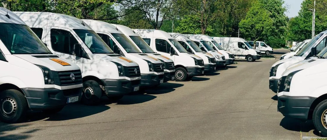
The largest private fleet in the US is operated by AT&T who manage over 60 000 vehicles followed by CPG/FMCG giant PepsiCo with over 51 000 (source). Organizing and coordinating fleets of these sizes involves a number of key tasks including:
- Vehicle leasing and financing
- Vehicle telematics (tracking and diagnostics)
- Vehicle maintenance
- Supply chain management
- Overseeing fuel consumption and fuel costs
- Driver management
- Asset utilization
- Route planning
- Security and compliance
Using Location Intelligence in the fleet management process allows companies to improve efficiency reduce costs and provide compliance with government regulations. Visualizing fleet assets & optimizing their activity with data streams such as traffic weather & routing data can if done properly lead to double digit savings for organizations.
Best Spatial Practices
Vehicle telematics (tracking and diagnostics)
A key component in fleet management is vehicle telematics. The effective use of vehicle telematics hardware supported by GPS can assist fleet managers in tracking their vehicles for asset protection provide stakeholders with accurate information on the movement of goods monitor driver performance and monitor the state of the vehicle.
For example a grocery store chain working with multiple distribution companies and locations within a cold transportation supply chain can ensure the effective and safe delivery of temperature critical goods to its stores by analyzing and visualizing data received from vehicles equipped with telematics hardware.
Another example can be seen below within Urbo a Smart City solution developed using CARTO’s platform for Telefonica’s public sector clients. Here the live position of a number of different types of vehicles (public transport postal police and waste vehicles) can be monitored along with additional information provided by the telematic hardware.
Overseeing fuel consumption and fuel costs
Alongside the cost of purchasing or leasing vehicles fuel costs are a significant part of a fleet management budget. As mentioned already optimizing fleet activity with data streams such as traffic weather & routing data can lead to significant savings. During a recent webinar with what3words we discussed how working with last-mile logistics companies (such as DPD) to provide addressing solutions can lead to 15% gains in efficiency.
Alongside telematic hardware's capability to monitor and influence driver behavior (reducing speed and idling time) route and network optimization can also significantly reduce fuel costs.
For example SEUR built a solution allowing them to optimize their cold transportation network reducing their average distance of 18.99 km/order to 18.23 km/order. Considering every year SEUR delivers hundreds of thousands of orders only in cold transportation this could translate into very significant savings. For 500k orders this improvement would mean 380k fewer kilometers which would translate into considerable savings in terms of fuel and fleet size. The animation below created using our Python package CARTOframes shows the impact of opening and closing distribution centers and the effect it has on such operational costs.
Security & compliance
In order to protect assets geofencing can be an effective method of ensuring that a vehicle does not leave a pre-refined virtual boundary around a particular location. Geospatial platforms can be configured with such geofences so that a fleet manager or others within a company can receive an alert when a vehicle enters or leaves the boundary. This can be achieved either by creating an "area of influence" or "isoline" or with interactive drawing tools such as the one seen below wherein these areas can be modified as a business scales its operations.
Finally the use of technology and platforms that can store and analyze location data outlined in this post can also help fleet manager's comply with local and national regulations.
For example in the US the Electronic Logging Devices (ELD) mandate is a congressional mandate that went into effect December 2017 that requires commercial vehicle operators to record Hours of Service (HOS) electronically. In the UK in April 2008 the Corporate Manslaughter Act was strengthened to target company directors as well as their drivers in cases of road deaths involving vehicles used on business. In both cases having a robust solution in place that can store and process location data is crucial.
These are just a few examples and best practices of how Spatial Data Science can be used within Fleet Management. As the role of a fleet manager has evolved IoT and data analytics are now essential to the job and with location being an inherent part of the data being generated spatial can help streamline fleet operations.
Want to get started?


